Pagans In Tirol: Seefeld’s Stonehenge

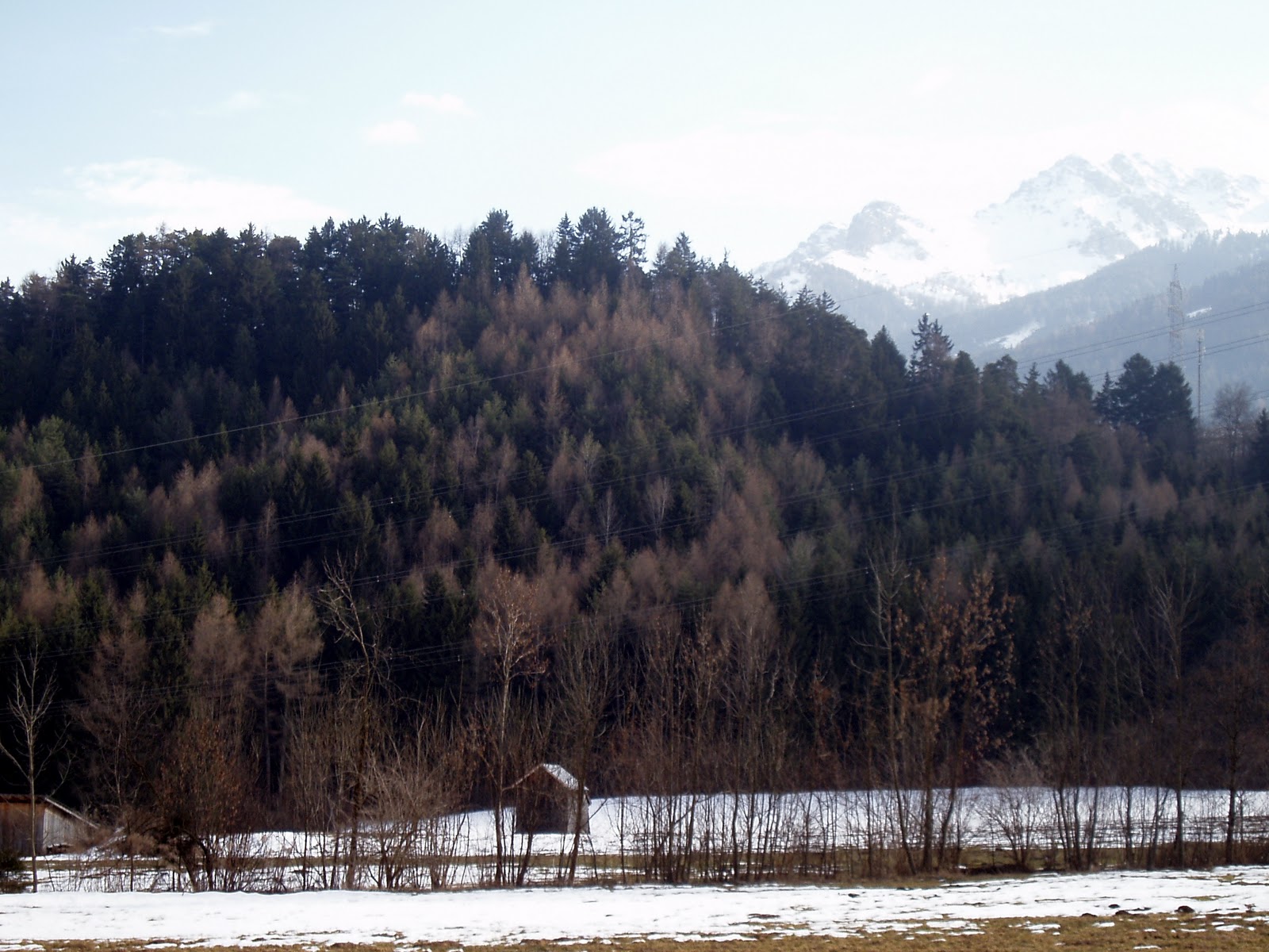
This is the Pfarrerbichl, or “pastor’s hill”, in Seefeld in Tirol. It is behind the St. Oswald parish church.

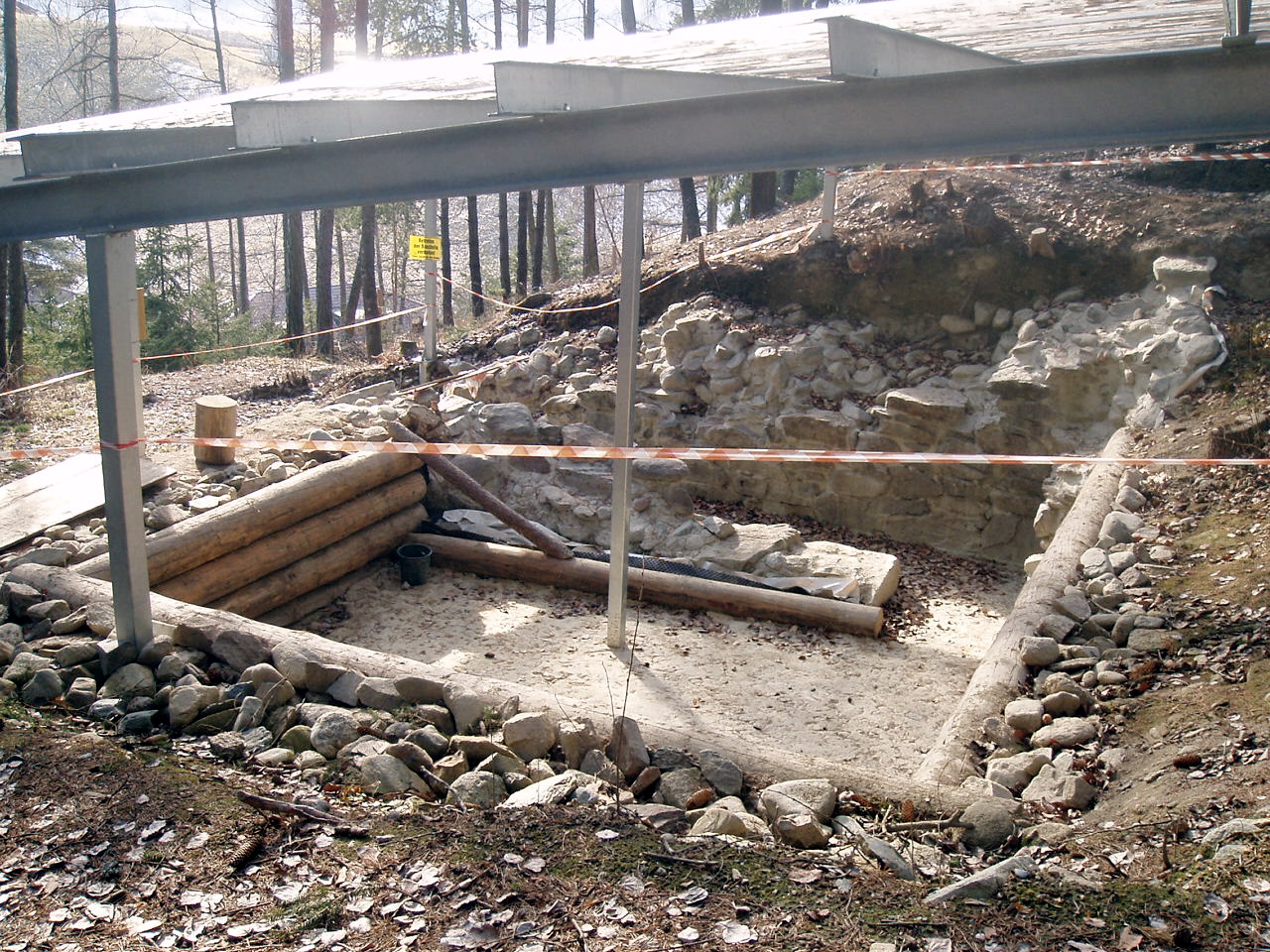
An architect from the area was given the green light to erect a stone circle on the hill, with the idea to create a peaceful meditation and meeting place for all religions of the World. The stones are local erratic boulders, dropped off by the glaciers as they retreated at the end of the last ice age. On the architect’s website (he seems a bit of a geomancer with a thing for Pagan fantasy, from the images) he writes that while this is, in his opinion, “one of the most mystical places in Tirol”, and that he believes it had once been a sacrificial burning site, there have not been any archaeological excavations on the hill — and here this reader winced, hoping the “planting” of the boulders did not destroy anything waiting to be found…

The church then got in on the act, and raised money locally to create a Way of the Cross leading to the stone circle, also using glacial erratic rocks, so the entire thing is Christian in character. Although the church’s information plaque was cheerful enough, I can’t help but wonder if there hadn’t been some pressure to “christianize” the circle after it had been erected. Which would be entirely within their right, it being their hill and all. (And of course it wouldn’t be the first thing the Catholic Church borrowed from the Heathens.)

h/t to Kraftorte.

Mösern, the village with the “Albrecht-Dürer-View”, is also where one will find the Friedensglocke (Peace Bell), the largest bell in Tirol, brought to this perch by ARGE ALP, an international association of alpine provinces. The Peace Bell also has its own sort of Way of the Cross called the Friedensglocke Wanderweg (Peace Bell Hiking Trail). The stations of this trail call for such mantras as “Peace needs a path and effort“, and “Peace is living vibration“. Yeah, whatever — this all seems a little New Age-y for me. But anything which promotes peace is a good thing.

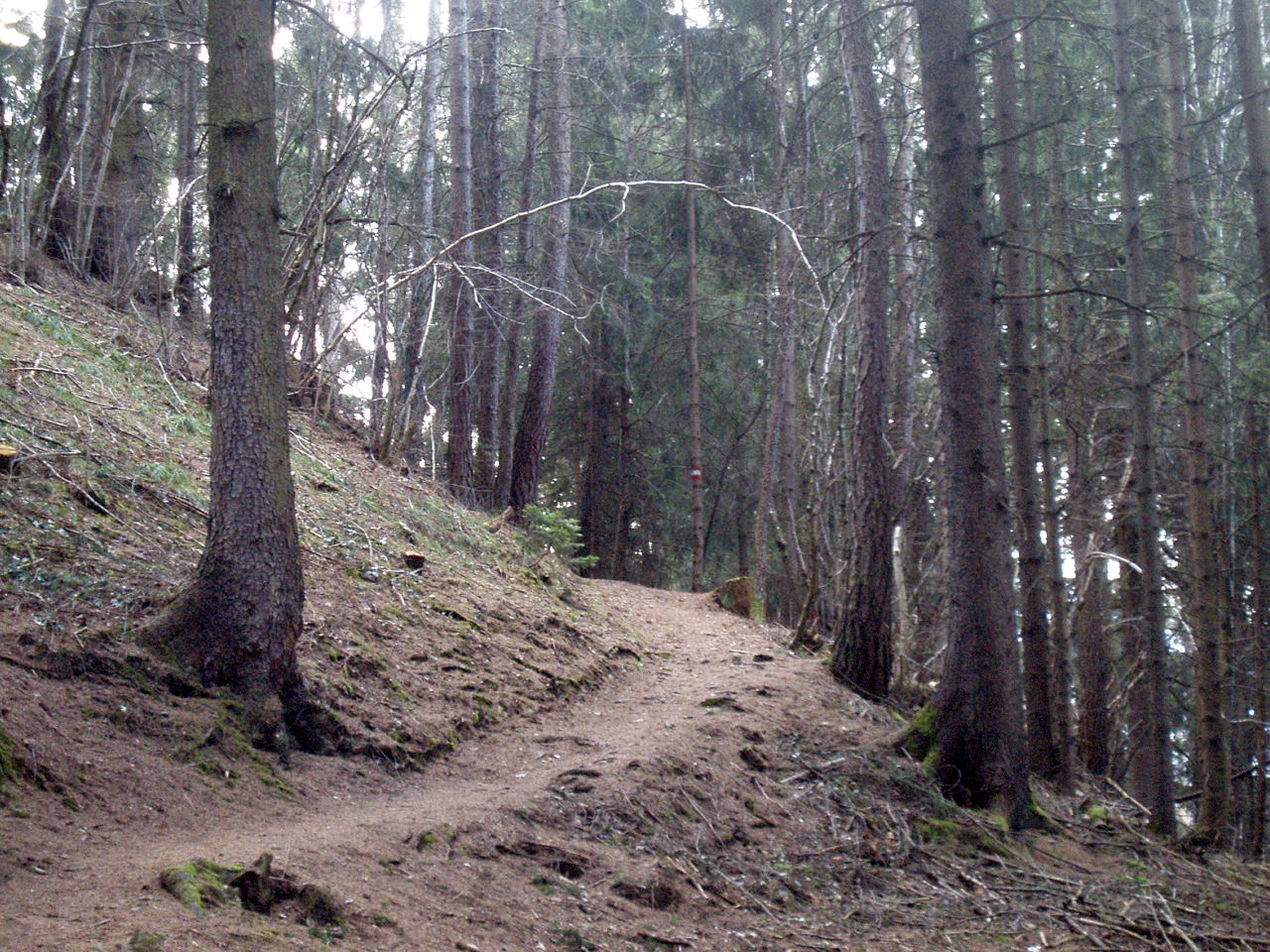
These two sights were visited on the same hike, which began in Hatting and ended in Seefeld. Although it was a pleasant enough walk, I would recommend starting in Seefeld and looping back, and including the Möserer See. The trails from Hatting were simply logging roads with no special scenery.

Weekend Mountain Blogging: Stubaital

Pagans In Tirol: This cave, when rediscovered in 1976, held pottery from the La Tene era, the pottery being more specifically from 500-300 BC. This cave is presumed to have been a holy spring (Quellheiligtum) for the local residents. Whether they also kept their local brew at a desirable temperature here, no one can say…

The Stephansbrücke was a very big deal when it was erected in 1843, and Archduke Stefan Franz Viktor himself came to the ceremony to lay the foundation stone, at the tender age of 26. The bridge was part of continuous improvements on the Brenner Road, which stretches from Innsbruck over the Brenner Pass into Italy. The history of this highway is long — the Romans made the Via Raetia, and that road (and its later incarnations) remained the most direct way to all points south for a long time. Occasionally one might see an old Austrian or Bavarian film from the 50s or early 60s, where a journey to Italy by car leads over these very roads, some not yet even paved. Then the Brenner Autobahn came and changed everything.

I did not cross the Stephansbrücke, but I did cross this. The woods and valleys looks just as they should in early spring — crocuses are blooming, and other wildflowers along the forest trails. The songbirds are back, and I saw plenty of butterflies and bumble bees — which brought relief, since one hears so much lately of these critters becoming scarce.

This long hike began in the Stubai Valley (via tram) and continued north, toward the Northern Range and the Patscherkofel, following the Ruetz and then the Sill River (mostly a creek, especially this far upstream) The Bergisel ski jump tower, like a beacon, signals that home is finally near.

Weekend Mountain Blogging: To The Gletschermühle


A walk through the quiet and somewhat mysterious Ullwald, in the shadow of the Patscherkofel, earlier this week.


The local sights include the Gletschermühle, a small “glacial mill” carved into the stone by thousands of years of ice age melt.


As water poured off the melting glacier, the churning water, mixed with stones, hollowed out a “kettle” in the rock below.


When I scrambled over the rocks to the other, lower side, an idea struck me. Although this “carving” is a natural formation, it must have been important to earlier inhabitants due to its rarity. And if 4000 B.C. Man was really no less genetically primitive than 2000 A.D. Man, he would have to have been impressed with this rock face in a majorly theatrical way, as backdrop for ritual. Perhaps the massive cathedral high altar of today is a descendants of the mass of rocks behind the priestess/priest. My camera couldn’t do it justice, unfortunately.

Not far away, what 2000 AD Man has been up to: A stone labyrinth, close to the Mühlsee tram station.

Pagans In Tirol: Schalenstein

My best blogposts lately have been inspired (stolen) from others’ efforts, and this one will be no exception. Earlier this month fellow blogger Paschberg went exploring on the newer trails carved out by the mountainbikers, and came across a rock cliff with cup markings carved into the top. This would be the second set found, after the boulder near Tantegert. Naturally, I needed to go find this for myself, and so, equipped with a marked google earth map graciously sent to me, I set out to find the Schalenstein.

After wandering around the general area (there are all sorts of named and unnamed tracks criss-crossing around over there), I circled back and came across this rock face, part of a longer ridge that cuts through the woods.

And sure enough, at the top was a flat, square-shaped boulder, with three cup markings bored into the surface. I was delighted to find it, and at the same time wanted to kick myself for passing so close to this area regularly for nearly two years, and never looking around over this way. This Schalenstein was practically in front of my nose, or better said, over my head.

Behind the rock is a kind of partly enclosed ledge, big enough to sit on. That’s where I noticed the bolt anchors — there are several of them driven into the rock at different heights. Clearly, this cliff is being used for rock climbing practice.

And at the so-called “witch’s cottage”, just a minute or two down the path, it became a little clearer that the climbing practice has some connection to whoever uses the cottage now. Note the climbing holds decorating the wall, and the photograph next to the door.

I walked further uphill along the ridge to inspect more boulders, but they are all covered with thick moss and tree roots. There’s just no telling what’s underneath them. The Schalenstein was the only rock that was somewhat free of moss — which leads me to believe that it’s being somehow, anonymously, maintained.
I once asked an archaeology-minded friend about the cup markings in the rocks here, and she responded with cynicism. There are fakes, there’s no proving their antiquity. She has a point, and the rocks don’t seem to be of interest to anyone official (Not that I can see. Maybe I’m wrong about that.) But they are there. The sacrificial altar sites at Goldbichl and Bergisel are not all that far away, nor is the possibly-Pagan “Judenstein”. It is said there are other marked stones in the area, hidden away in the woods, waiting to be visited.

Pagans In Bavaria: Viereckschanzen in Holzhausen

Along with the Sunderburg and the pre-Christian grave mounds hidden here and there, the area immediately north of the Ammersee also contains two fairly well-preserved Celtic Viereckschanzen, rectangular earthen enclosures, called Holzhausen 1 and 2. Their function is disputed among archaeologists as to whether they held sacred groves or were built for more practical purposes as forerunners to medieval city walls. They were certainly large enough for whole clans to live in them, being roughly 100 meters long and 75 meters wide, which would make for an unusually wide football field.

Holzhausen 1 has an entrance gate, or at least a higher break in the wall where a gate would have been built. A nearby sign suggests how one would have looked.

A path now leads along the top of the wall, bringing the visitor all the way around and back to the gate.

Inside the wall is meadow, and, interestingly, a small copse of young trees about right in the middle. Much older trees had stood here but had been cut down. We didn’t count the rings in their stumps but there were many. Possibly someone is maintaining their own sacred grove.

At Holzhausen 2, the forest has taken over. The ground inside the wall has filled in over time so that the earthwork is now more of a plateau. Here is the edge, from above on the wall.

Here again, just about in the middle of the Schanze, an unusual circle of plant life. I’m going to assume that fires were made here in the recent past, and the wood ash left the earth especially fertile for this plant. I’m not very romantic about the past — I tend to think people had way too much to do trying to stay alive and healthy and keep what they had, than to put all this work into a little sacred circle. But hey, that’s me. It’s clearly someone’s sacred circle now, and it’s nice to know that these someones are caring for this speck of land.

By each Schanze is a small sign explaining the site, and nothing more. Better that way — it’s not easy to find, not easy to reach (we took our mountain bikes), and less liable to be wrecked. Holzhausen is just south of Fürstenfeldbruck, near Schöngeising, 40 kilometers west of Munich.

Forgotten Bavaria: Sunderburg

High above the Amper River lies a mountain spur known as the Schlossberg (Castle Hill) or the Sunderburg, where evidence has been found of settlements from different eras. Excavations have shown that people lived here as early as the early Bronze Age (app. 1700-1600 BC). and there have been finds belonging to the Urnfield Culture (app. 1200-800 BC, and there are indeed grave mounds nearby.) In the Hallstadt Culture years the settlement was apparently abandoned. I have no knowledge as to whether the Romans used the hill for any strategic purpose, although it is rather close to the Via Julia, the roman salt road which ran from Salzburg to the Donau at Günzburg.

In the 11th century a fortress was allegedly erected on the hill by Count Friedrich of Diessen-Andechs, and Middle Age archaeological finds confirm this. The name Sunderburg was first mentioned in records in 1447. The House of Wittelsbach built a hunting lodge there in the 16th century.
On the steep slope to the river one finds mixed forest an, below that, rare flora in the wetland meadows downriver.

There is no information on hand about the earthwalls an the plateau, they could have been constructed in any of the periods where people used the hill.
An old local tale about the Sunderburg tells of it going under with all its inhabitants and treasures. A peasant, finding glass shards on the ground, took one home to find it had turned to gold. When he returned for more shards, they had all vanished. Another story tells of two pails of gold deep in the castle well, guarded by spirits which cannot be banished, which sinks further into the mountain every year. Similar stories of ancient gold in ancient fortresses can be found in Tirol, and probably wherever old, pre-christian settlements are known to have been. The locals may have known nothing of those prehistoric people, but the myths and legends often contain something of them.

Grave Mounds near Grafrath


In the northern part of the ground moraine flatlands near the villages of Grafrath and Mauern, south of Fürstenfeldbruck, stretches one of the largest pre-historic grave mound necropoleis in Bavaria. Systematic surveillance has revealed at least 124 mounds. It is possible that more grave mounds existed outside the forested area, but were worn away over centuries of farming and building.


Research into this grave mound area began in the late 18th century, through the efforts of a local minister who made an early map of the mounds. Some excavations occurred in 1839 and 1870.  Later, in 1893, the Munich historical painter Julius Naue dug out 93 of the graves. Part of the finds are in the Archäological National Collection in Munich.
In the customs of the times, the dead were buried in their traditional clothing along with fine jewelry and vessels containing provisions. Some of  the men were buried with weapons. Some cultures buried cremated remains. The oldest burials are from the middle Bronze Age (1600 B.C.) Later burials occurred in the “Urnfield” culture in the late Bronze Age (1200-800 B.C.) and especially in the early Celtic “Hallstatt” culture (800-500 BC). The most recent, from the Celtic “Latène” era (500-100 BC,) consist of burials in existing mounds.

Thanks to the Fürstenfeldbruck Civic Trust for putting up this information on their nahTourBand walking trail.

Also special thanks to the guy who manages the Kraftvolle Orte website, which lovingly details what appears to be every single Pagan sacred place in Bavaria, including directions and GPS coordinates.. Gotta love those Germans.

>Weekend Mountain Blogging: Hexenbödele

>

10 minutes’ drive west of town is a wooded hill called the Hohe Birga, at which excavations have uncovered a Raetian settlement and objects dating from the Iron Age. Like the stone terraces at Himmelreich and the sacrifical altar site at Goldbichl, this settlement ended shortly after the Romans pushed through and burned it all down.  

The paths were narrow and windy, and sometimes rather steep. I began to feel like a hobbit on the road to Mirkwood.

 The excavation of a Raetian house, part stone and part log (reconstructed here.) There are plans to display the objects found here in a new Rätisches Museum in nearby Birgitz, although I don’t know when it will open. (It wasn’t today.)

My hiking map was not completely clear on this, but I took this very flat area on the hill to be the Hexenbödele, the place where the witches dance. It is said that many flat-topped hills in Europe are known as “witches’ meeting places” or Hexentanzplätze  — often these places have turned out to have significance to pre-Christian societies. (There is a large, high plateau in northern Italy with this legend, and sacrificial objects from pre-Roman and Roman times have been found at the site.)