“If the Baiuvarii on the Lech don’t block your way”*

My husband knows that I have this fascination with local maps and roads and routes from long ago. In a recent acquisition of used books he stumbled across something he knew I’d like — “Die Alpen in Frühzeit und Mittelalter” (The Alps during Antiquity and the Middle Ages) by Ludwig Pauli, C. H. Beck, 1980. I skipped ahead to the chapter on Alpine crossings and Roman Roads, and lo, look what I have learned:
It’s about 565 C.E., the Romans have retreated back to the Italian peninsula, and Rhaetia has gone through a few centuries of bloodbaths. The people who buried their silver coins in the hopes of recollecting them “when things died back down” are long dead and their stashes will remain buried for another 1,600 years or so. There’s no upkeep of infrastructure, but the roads are still there, more or less. Against this backdrop, a 25-year-old named Venantius Fortunatus has set off from Aquilea, on the Adriatic coast, for a long journey to Tours to pay respect at the grave of St. Martin of Tours. He wrote about his travels later**, and so we also know the route he took — over the Plöcken Pass (at the Italian border to Carinthia in Austria), then westward to the Brenner Pass, north to the “Seefelder Sattel” and on to Augsburg and beyond. What this means is that he took the (later named) Via Rhaetia, “our” Roman Road, which passes right through our area here between the Ammersee and the Lech River. Fortunatus passed through here — which means he is the earliest person of later world renown*** to have traveled in our area, all those years ago.

I must admit that I was unfamiliar with the name, but a check with Wikipedia revealed something quite interesting — I was already somewhat familiar with his works, musical versions of which are in the Episcopal Hymnal (it wouldn’t be much of a stretch to say that most classical singers in America, no matter what religion or denomination they grew up in, know hymns from the Episcopal Hymnal, because the Episcopal churches, unlike their R.C. counterparts, pay well for professional choirs.)

One of his greatest hits is Pange lingua gloriosi, Corporis mysterium.


*Venantius Fortunatus, advising a traveler about conditions on the Via.

** “The Life of St. Martin”, which of course I need to hunt down.

*** Hannibal and his elephants crossed further west.

Weekend Mountain Rail Blogging

img_3149

The Mittenwaldbahn meets the trail at the Seefelder Sattel. Photo shamelessly purloined from Martin Schönherr.

Tyrolean omniscient and Friend of the Blog Paschberg sends a photo of greeting from the Seefelder Sattel, a little pass over the most easily navigable part of the Karwendel Mountains, and known as a point along the alignment of the Via Raetia. What he may not remember is that I myself have a similar photo, previously posted here, from pretty much the same spot, but looking the other way — the thing is, I had indeed been looking for the Seefelder Sattel, but didn’t realize that I had been standing right on it until now.
IMG_1999

In a somewhat related vein: the closed railway line which ran past my recent overnight accommodations in Passau’s Innstadt.
img_2830
It turns out to be part of the former Passau-Hauzenberg Railway, now used primarily by dog walkers. (The Beau, charmingly sarcastic as ever, suggested that it had probably been left behind by the Romans.)

In Via: Raisting

*img_2278

If one is interested, as I am, in the routes of the Roman roads in southern Bavaria, then one has probably heard of Raisting; the north-to-south road from the Brenner Pass to Augsburg (Via Raetia) and the southwest-to-northeast road from Bregenz to Gauting intersected here. Evidence of the latter road can be found further west, but the former has left traces in the land here which can be seen from the air. I wanted to find out what can be seen from the ground, and I wasn’t disappointed.

img_3123

First one travels south of Raisting, to the field of giant satellite dishes belonging to the German Postal Service. Our starting point will be this church.

img_2279

The old pilgrimage church St. Johann is supposedly the oldest church in the area, founded in the time of the first Christian community in Augsburg. This thesis is based on the fact that the old Roman Augsburg-Brenner road lay just 100 meters west of it.
According to legend it was built “on a holy place” by Tassilo III (748-788), the last Agilolfinger Duke. Tassilo, so the story goes, got lost on a hunt in the woods between the Lech and the Ammer rivers. He swore that when he figured out where he was, he’d build a church on the spot. Eventually he reached an open space from which he could make out the lake, and that is where Tassilo built his promised chapel. The altar was placed over a spring. (A church on a “holy place, built in the region’s earliest days of Christianity, with the alter over spring, near the Roman road? That sounds suspiciously like the former site of a roadside pagan temple.)

img_2281

It was especially cold last week; the welcoming committee was surely happy to soak up the warm sunshine today. Our instructions were to follow the road past the church until the second ditch, and then look southeast into the field. And lo…

img_3122

It’s difficult to see in this picture that the ribbon stretching before us is slightly raised, but it is easier to tell its presence by its lack of snow — underneath lies the pebble road bed. We left the marked road and trekked into the field.

img_2285

And met up with a barbed wire fence. Which didn’t stop us, we slid over /under it and followed the track to the end of the field, observed only by a small herd of camera-shy deer. Here the road alignment is even clearer to the eye. There is supposed to be the remains of a peat cutting ditch in the strip of woods straight ahead, but we saw only a small border stone marker poking out of the deeper snow before turning back.

img_2295

The satellite facility is surrounded by farmland and is easily accessible. It was impressive to see them up close. With the Via Raetia, St. Johann church and the satellite dishes, we had 2000 years of human achievement presented before us in one short walk.

img_2296

And here the route of the Via Raetia is still in use, as the main road through Raisting and Diessen, after which it veers slightly westward on its way toward Augsburg. The next place to trace its route is in Achselschwang, which we documented back in May 2014. It has since become a regular walking route for us.

Weekend Mountain Blogging: Maria Tax – Wolfsklamm

IMG_2034 A half-day hike above Stans to the Maria Tax Chapel. Taxen  is an old regional word for Tannen, or fir tree. Legend has it that the Virgin Mary made an appearance here in 1616,  leaving behind her handprint on a stone, a picture of which was then attached to a tree for people to come and revere it. So we have here both a stone and a tree of religious importance (I was able to find neither, unless the stone is now part of the fountain behind the chapel*.) IMG_2038 In 1627 a wooden chapel was built, in 1667 a stone one. In the same year the first hermit moved into the sacristy. IMG_2043 Sacred trees were a thing with the pre-Christian inhabitants all over Europe. Christianity treated the worship of trees as idolatry and this led to their deliberate destruction. From this site I learned a little more (translation mine):

When St. Boniface took an axe to the sacred Donar’s Oak at Geismar, Germany in 724, and didn’t get struck by lightning for it, he was able to proclaim the victory of Christianity. One sacred tree after another fell, and the Teutons were forced to drop their local religion and accept Christianity. Nevertheless many may not have forgiven Boniface for this desecration; he was slain 754 by the Frisians. According to many legends, when a sacred tree is cut, it bleeds from the sacrilege. Therefore the woodcutter asks the tree for forgiveness before cutting it. And many legends report of cruel punishments for messing with sacred trees . Ultimately behind such legends is the idea of the tree as seat of the Godhead. From a fiery burning bush God speaks to Moses; to Joan of Arc from the branches of a tree. The Buddha’s enlightenment takes place under a tree. The old-rooted idea of the sanctity of trees survived within Christianity and continues in myths and legends of holy images on or in trees. Particularly frequently encountered are sightings of Mary, or her image, in a tree. Many names of pilgrimages hold the discovery of a miraculous image in trees, such as “Mary of the linden”, “Mary of the fir tree”, “Mary in the hazel”,  “Mary of the larch”…

IMG_2045 Further along on the trail, a pair of Steinmänner guard the way. IMG_2050 Thirty minutes later, the St. Georgenberg-Fiecht Abbey looms above. I’ve been here before, but it’s getting late and so I turn in the direction of home by way of the Wolfsklamm. IMG_2052 An army of Steinmänner! It’s like an Alpine version of the Terracotta Warriors, or the Kodama tree spirits in “Princess Mononoke”. How delightful and unexpected. IMG_2057 IMG_2061 The Wolfsklamm in Stans has been renovated and, apparently, re-routed, in that the path through it no longer involves the pitch-black tunnels that I recall from my previous visit. Too bad, because they were fun in a scary way (it was the the first time I ever used my old cell phone as a flashlight out of sheer necessity). It’s possible that someone complained. [Sorry, that’s the Partenachklamm! But the Wolfsklamm bridges have all been rebuilt with sturdy new boards.] But the gorge is still impressive and well worth the €4,50 “toll”.

*The Schwazer Heimatblätter suggests a different origin: that the St. Georgenberg Abbey was having an image problem with pilgrims, due to a prominent prisoner being kept there.  It’s suspected that the monks themselves started the Mary-was-here story in order to keep the pilgrimages coming — that kind of thing is profitable for monasteries, after all.

Weekend Mountain Blogging: Mittenwald, Scharnitz, Seefeld

IMG_1999I needed to go to Mittenwald because of something I’d promised to do, and since I had the day free it seemed like a good idea to get some hiking in along with some sights.
As there’s only so much ground one can cover in an afternoon, I broke up the journey with short train rides. First, to Mittenwald.

IMG_1992Every so often, a sign that I’m on the old original Roman road. In tracing the route over the Alps one has the advantages and disadvantages of the landscape. Humans are practical above everything: the first mule paths made by the more ancient inhabitants followed the easiest ways over. The Romans built mainly on these existing paths because they were there (once they got onto more open land they had more options). After the Roman retreat in the 4th century CE, the roads remained and continued to be used for trade, later providing for much of the route of the Via Imperii during the years of the Holy Roman Empire. And so on, through the ages, until that ancient road over the mountains is now mostly (not completely) under the B2.

IMG_1995From Mittenwald I walked parallel to the B2 on a quieter trail, to get a sense of what Goethe may have felt when he came through here for the first time, in 1786.

Left Mittelwald at 6, clear sky, a keen wind blowing, and the kind of cold only allowed in February. The near slopes dark and covered in spruce, the grey limestone cliffs, the highest white peaks against the beautiful blue of the sky made exquisite, constantly changing pictures. Near Scharnitz you get into the Tyrol and the border is closed with a rampart that seals off the valley and joins up with the mountains. It looks very fine. One one side the cliff is fortified, on the other it just goes steeply up.

IMG_1996The fortification to which Goethe refers is the Porta Claudia, built in the 17th century and named for Claudia di Medici.
Back on the train, next stop Seefeld in Tirol.

IMG_1998“Bee Hotel”

I had seen this path many times from the window of the train, and often wondered what the signs said. Were they historical markers?  No, the trail is all about bees and honey!

This bee-themed nature trail ended at Reith bei Seefeld. From there a late-afternoon train brought me back to Innsbruck.

Forgotten Innsbruck: The Irrwurzel

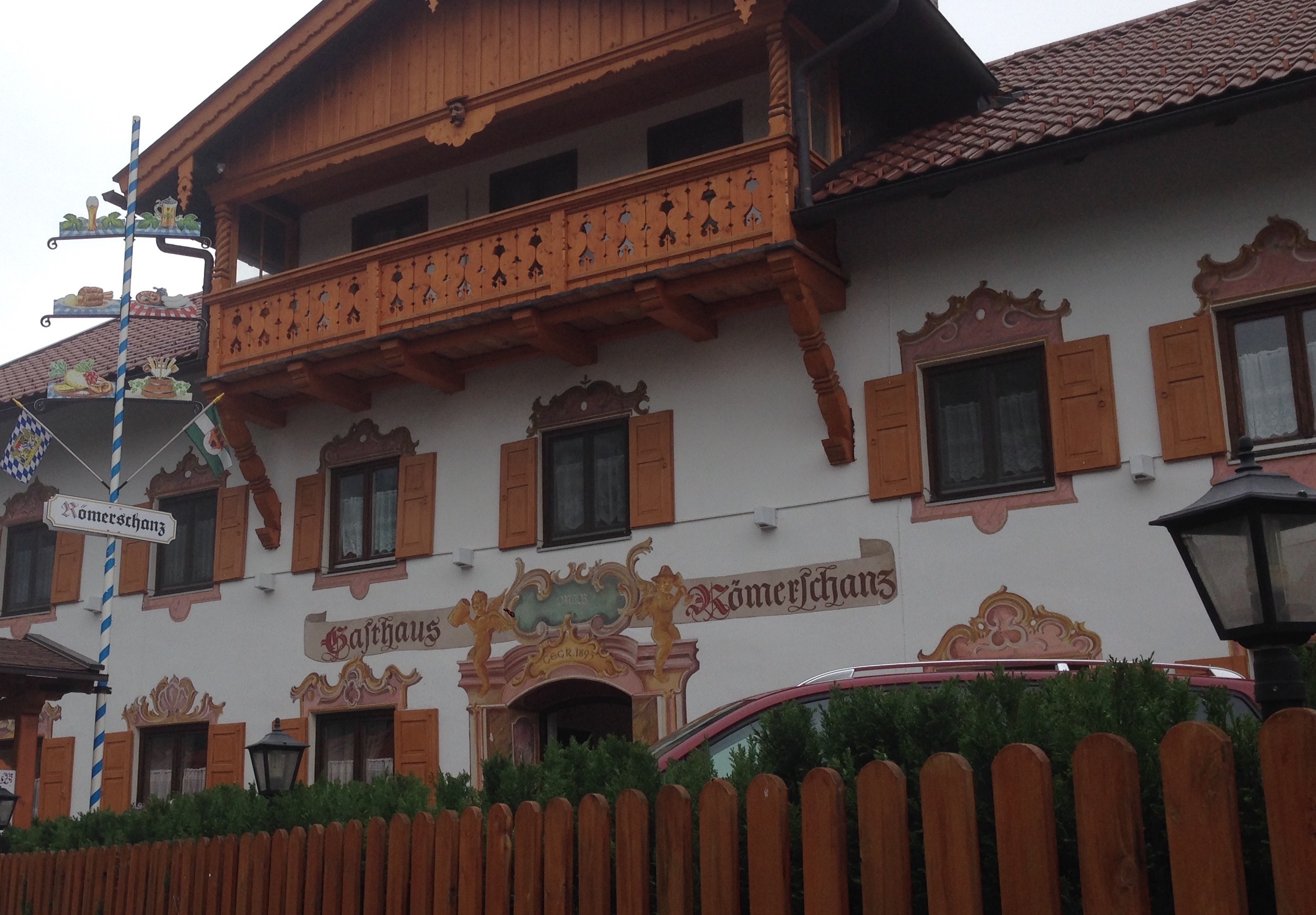
Fellow-blogger Paschberg has posted the following 1966 article from Innsbruck’s local newspaper, about a mysterious root found in certain places  which, should you step on it, will send you wandering through the mountains, completely disoriented. Here is an English translation by me, because I find weird legends like this kind of cool.

MYSTERIOUS “IRRWURZEL” OF MARIA LARCH

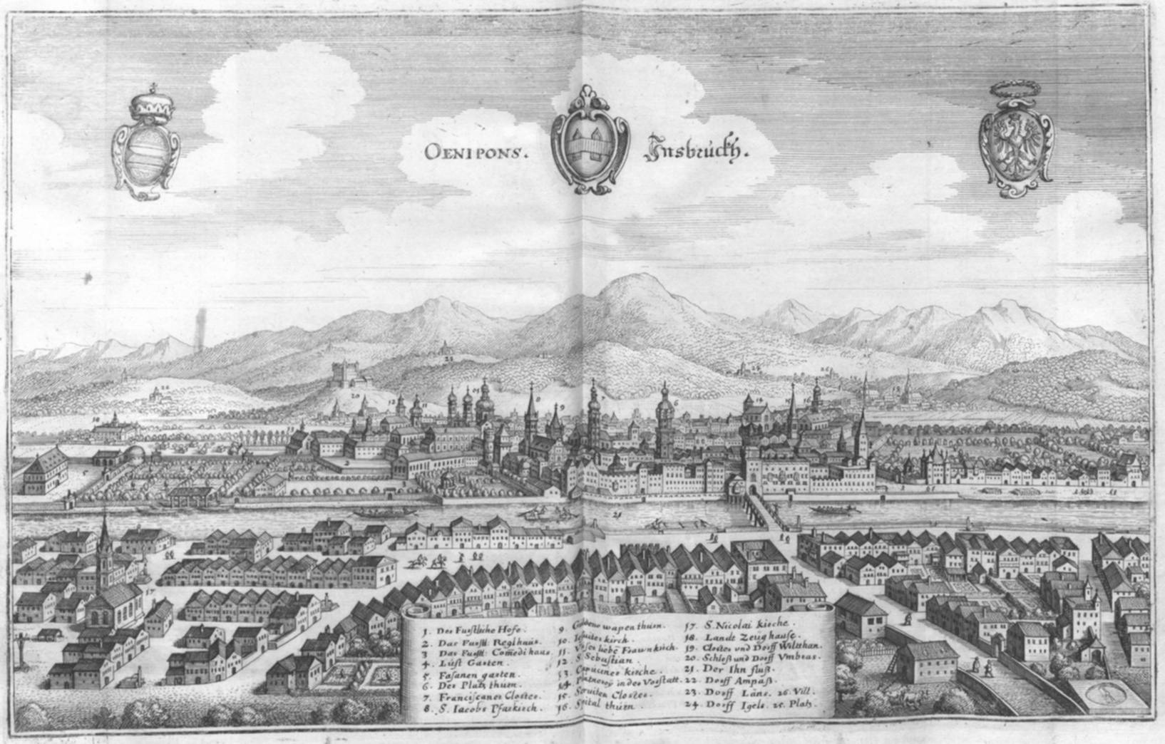
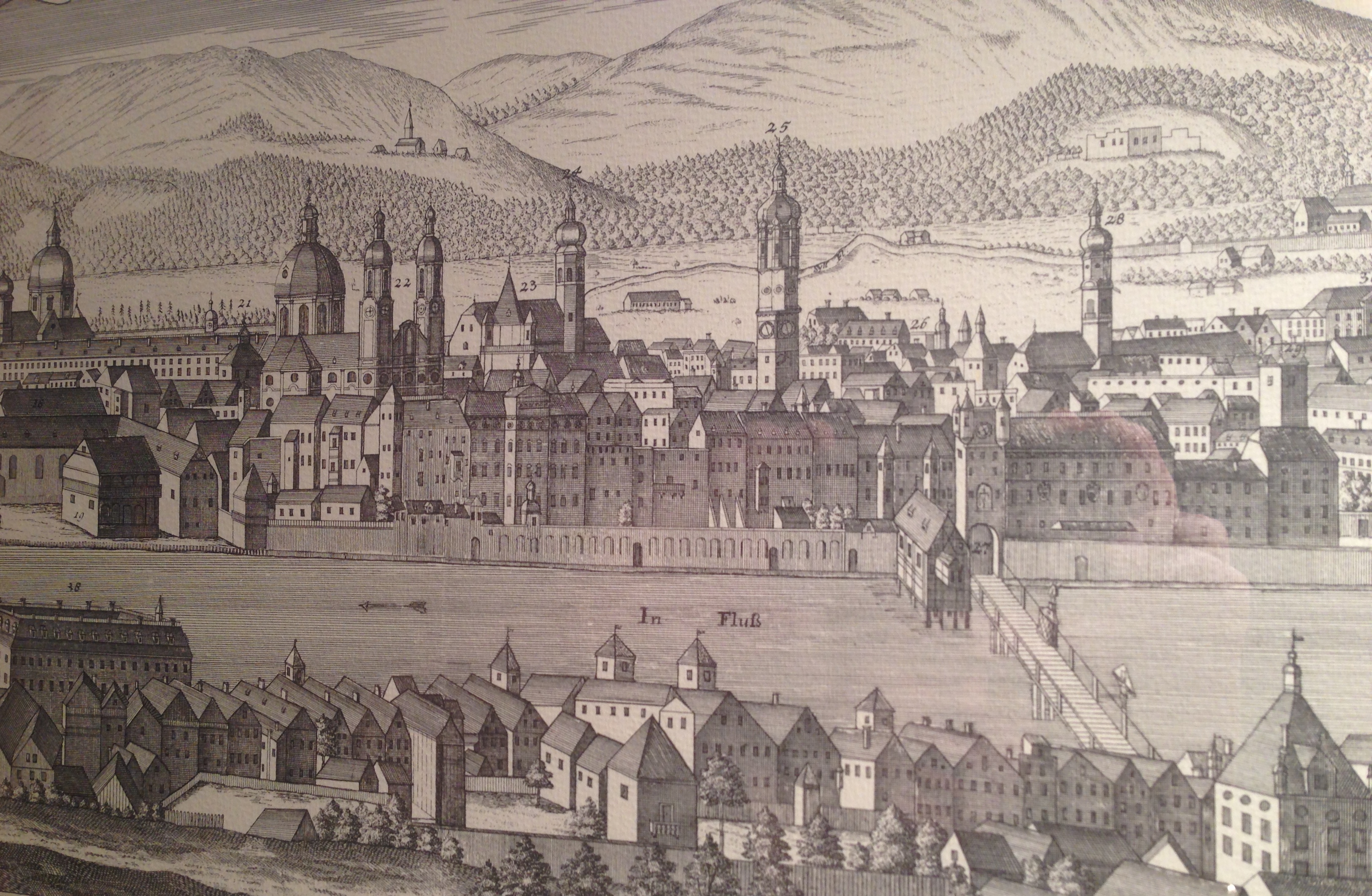
from the Tiroler Tageszeitung, Innsbruck, 25 October, 1966, Nr. 247, S.6

“Was terrestrial radiation to blame for the mental state of Johann König from Gnadenwald?

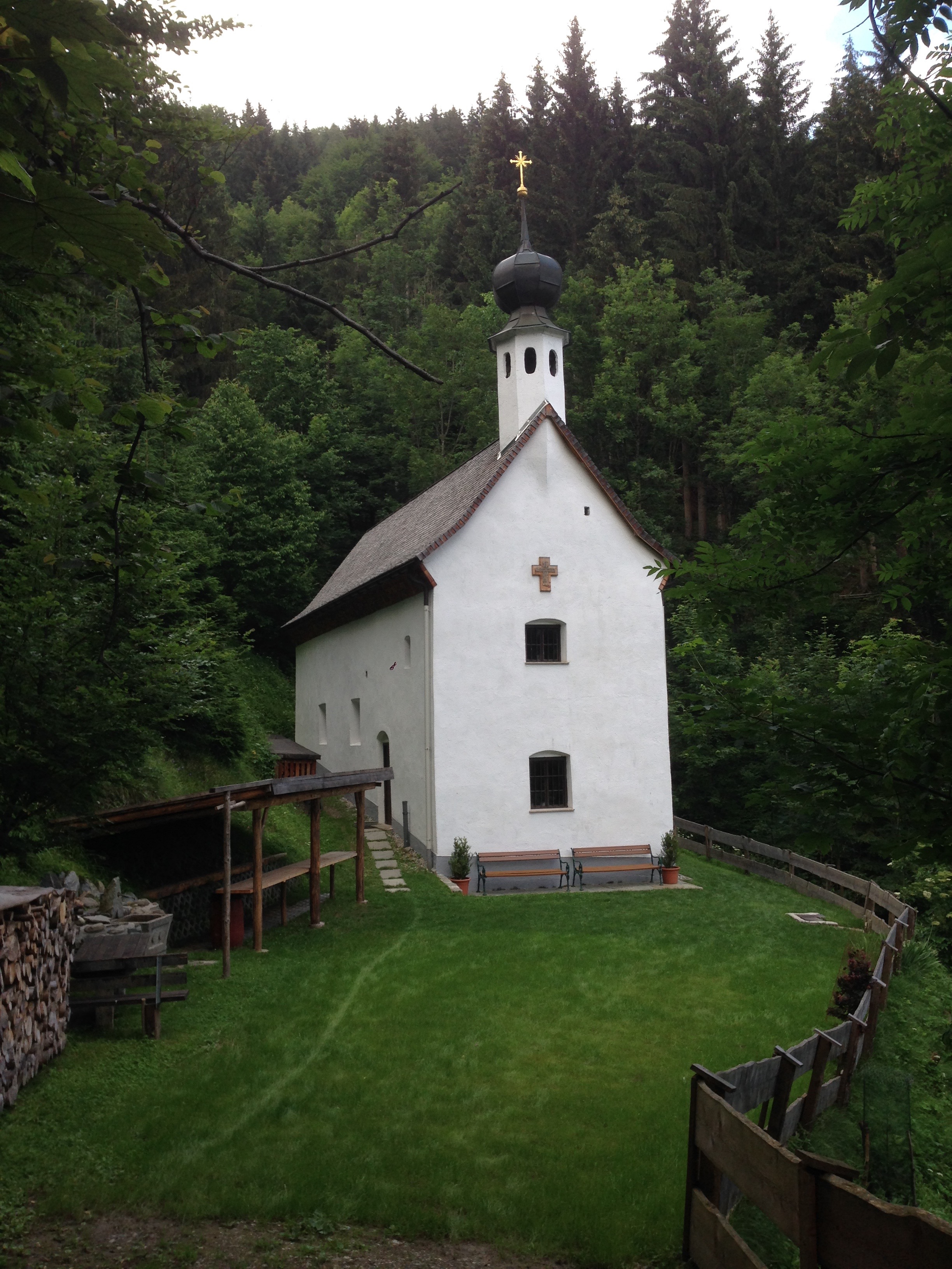
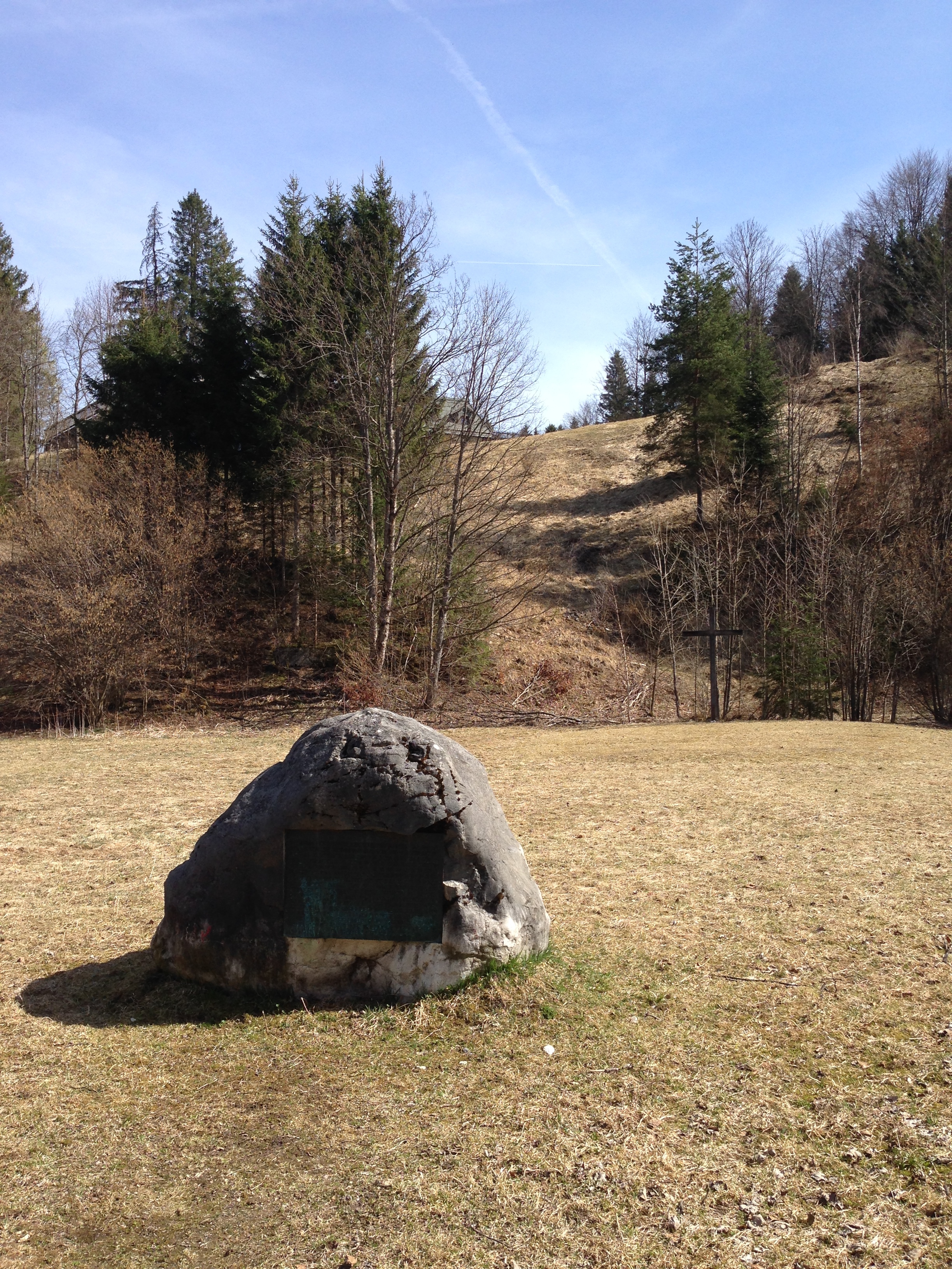
In response to Dr. Dietmar Assmann’s article “300 Years of Pilgrimages to Maria Larch near Terfens” in the October 8 issue of “TT”, I would like to tell a story which is interesting on ethnological, scientific, psychiatric and mountaineering levels.

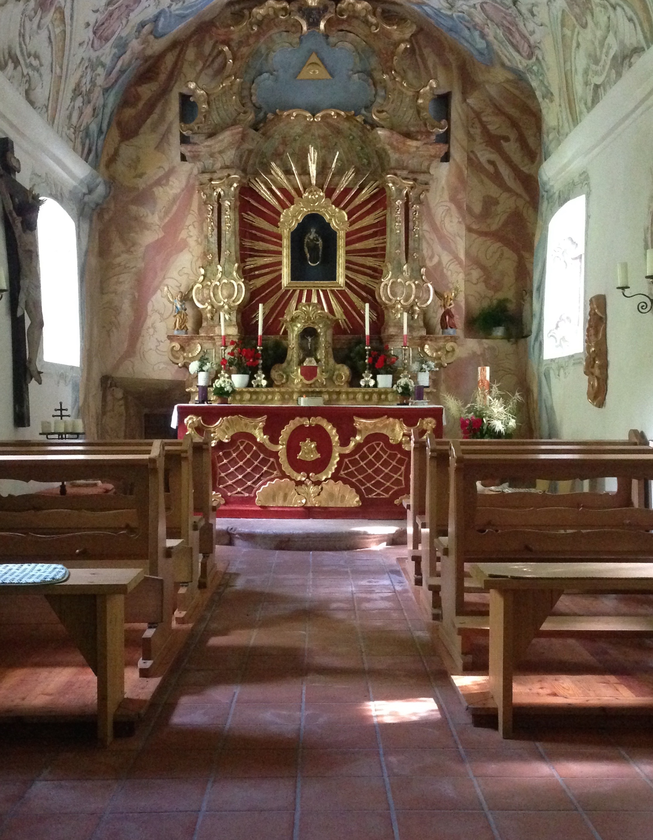
The history of Maria Larch the legend is exhaustively discussed in the article. In conclusion the author writes, “like many other cultural sites of this kind, we see close ties of nature with the desire for protection from its violence.”

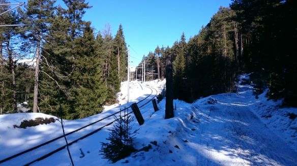
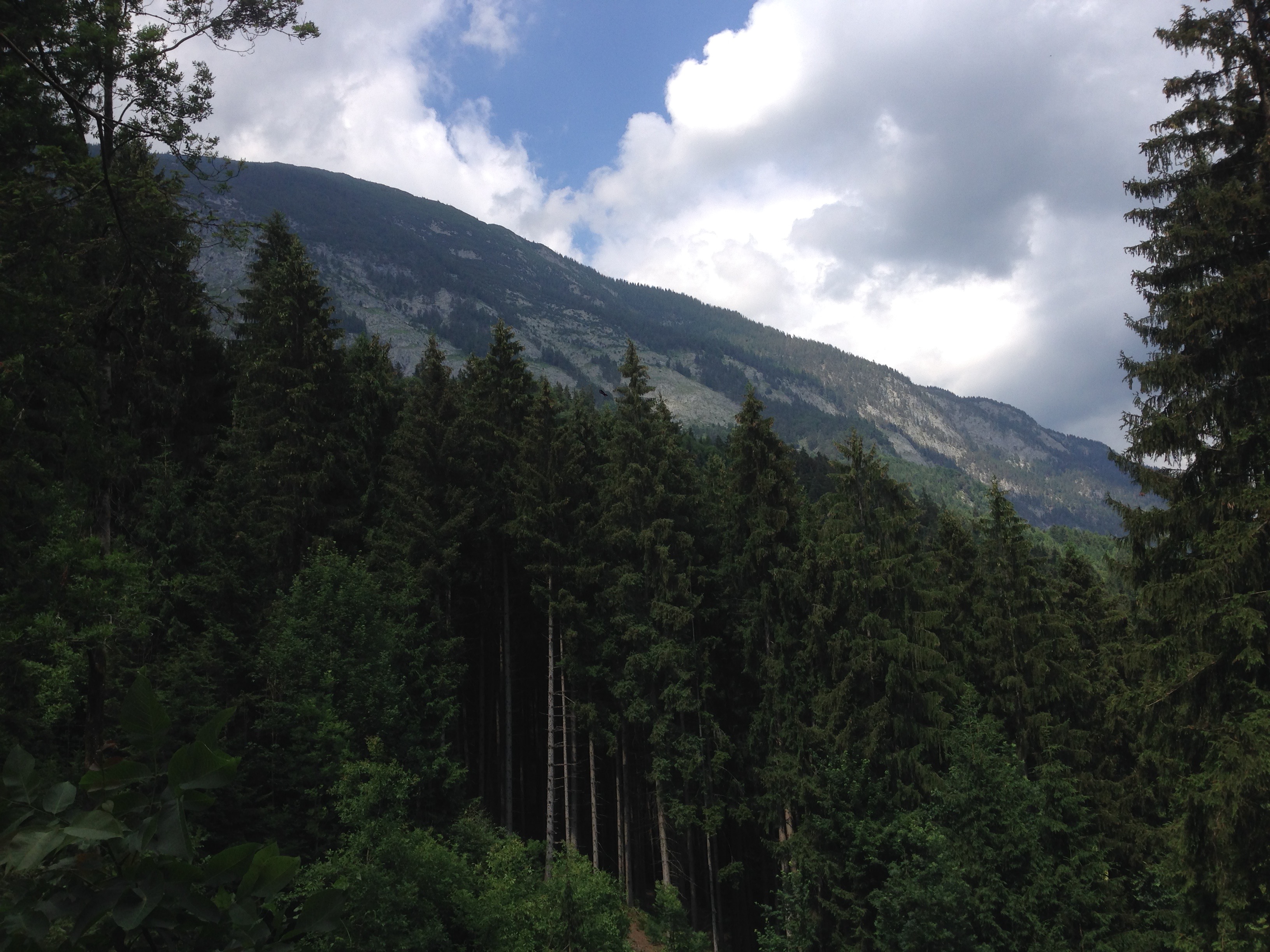
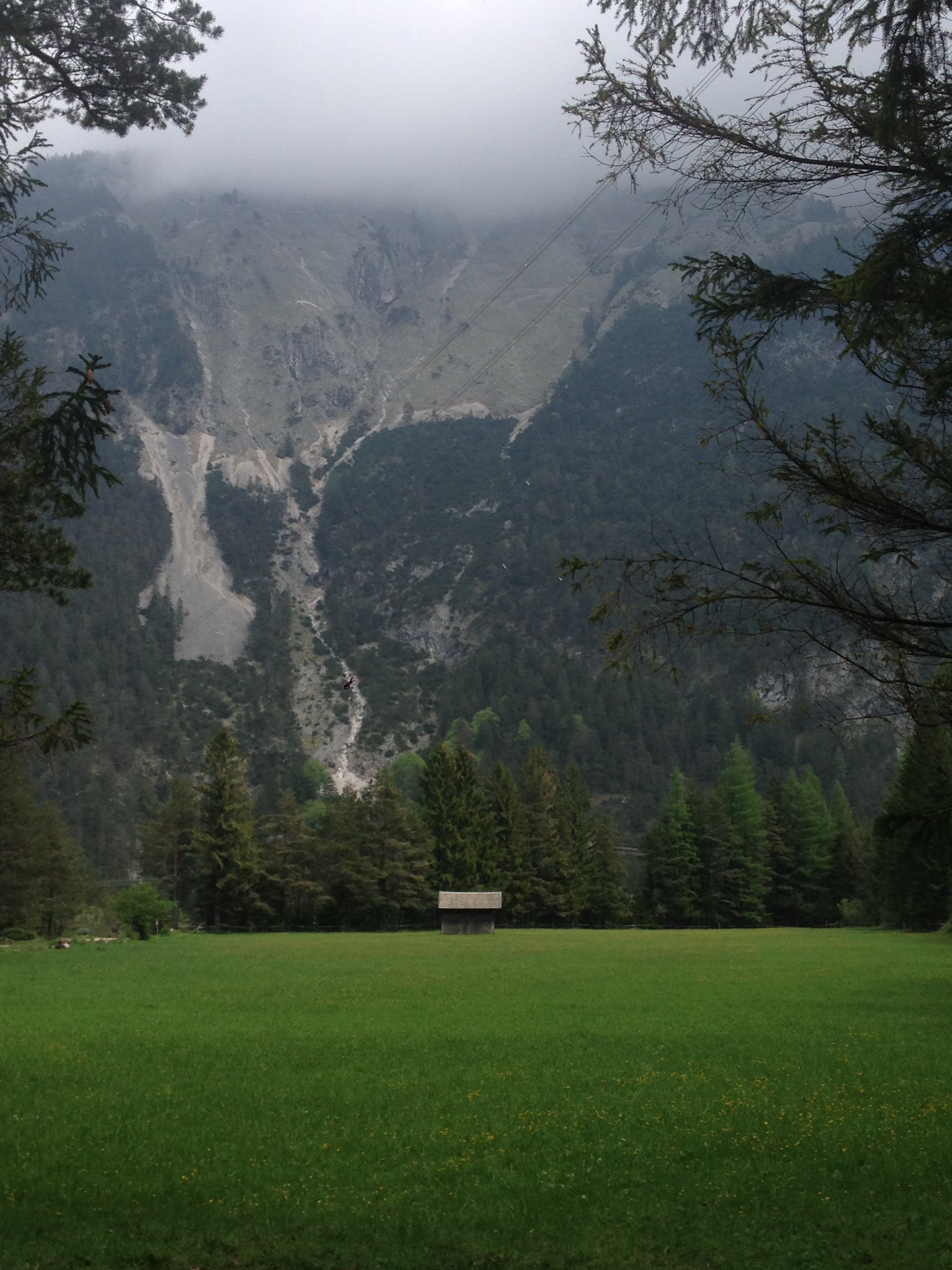
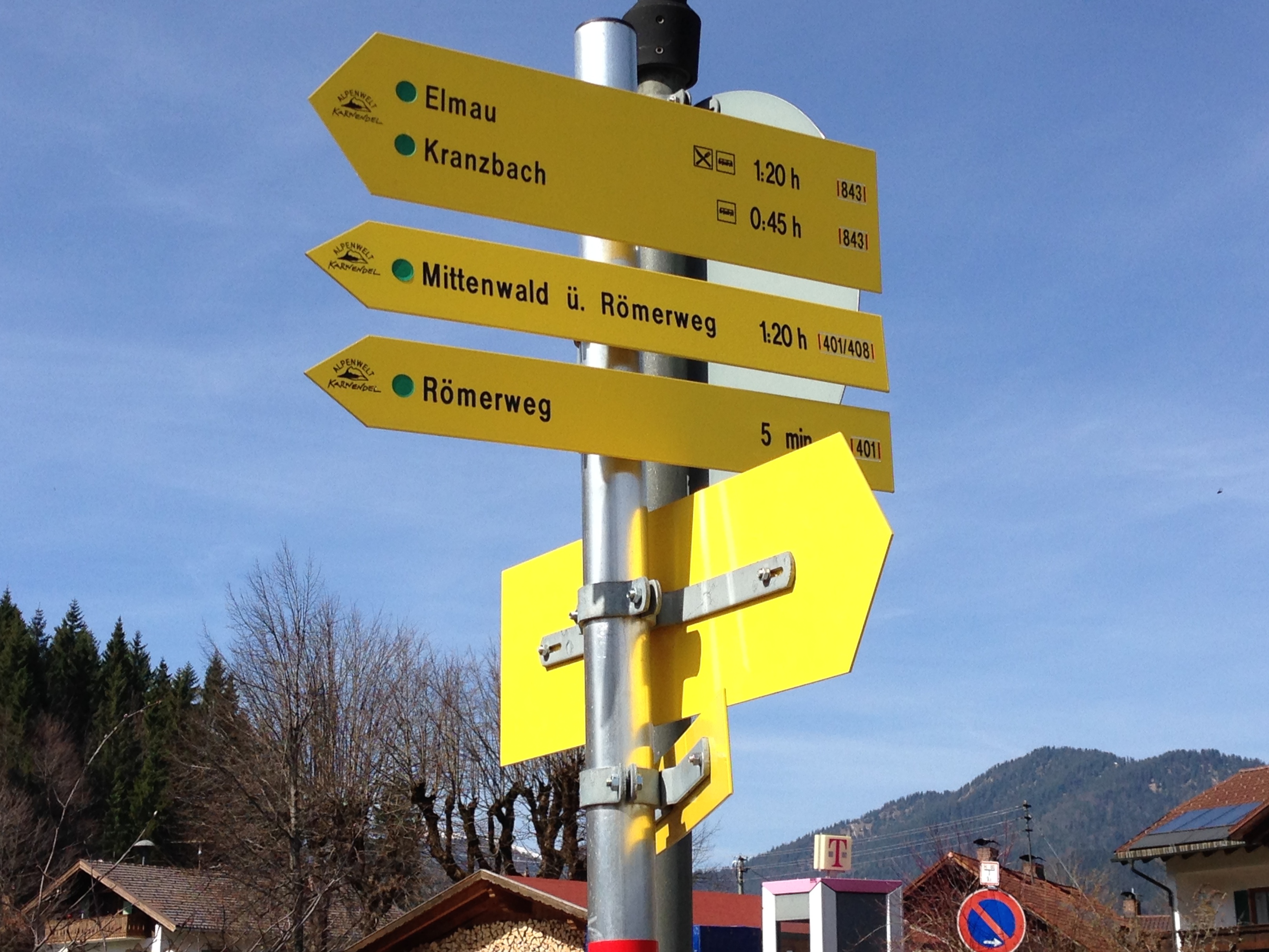
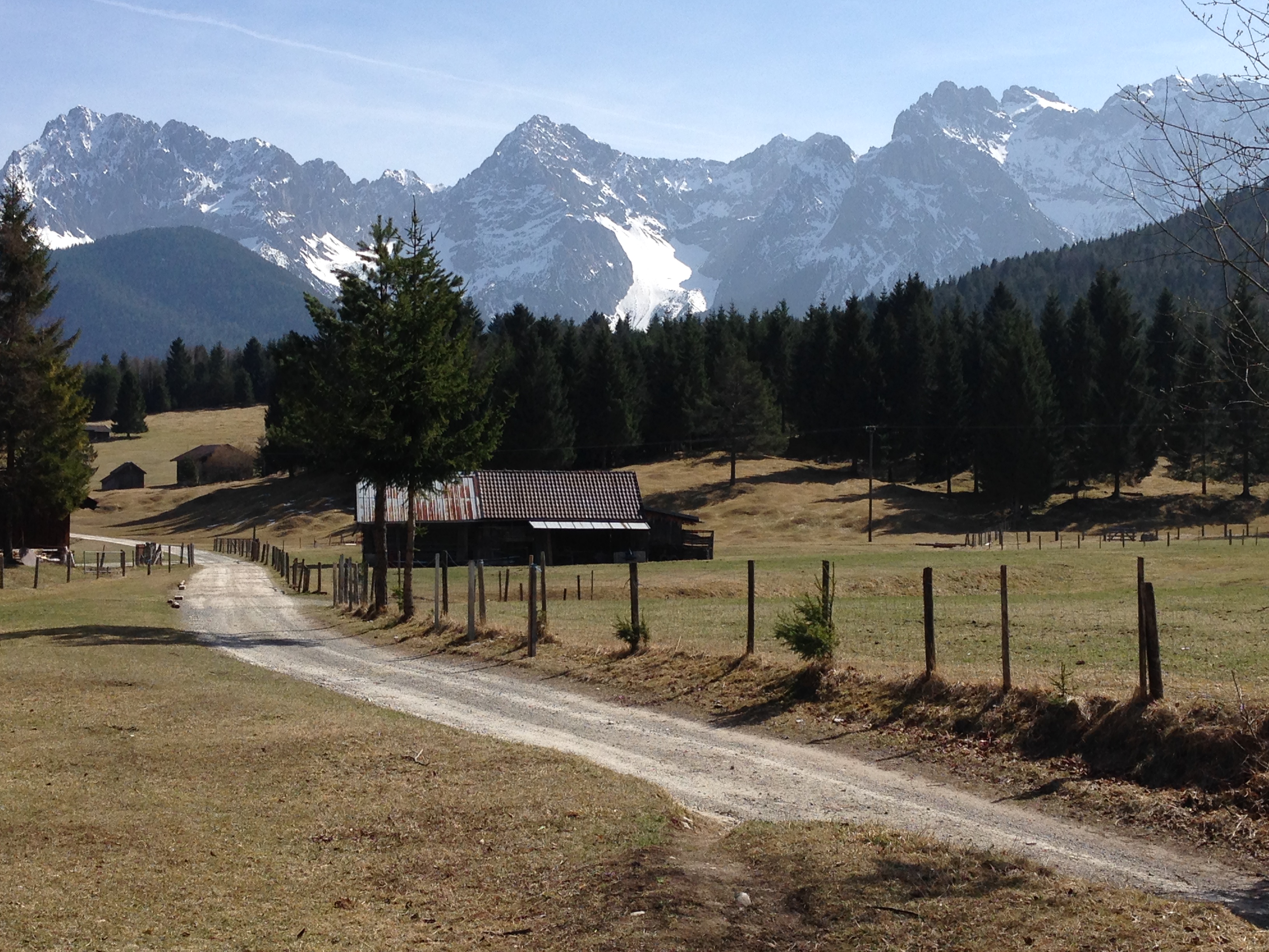
The saga tells of such violence. According to it, a mythical root grows in the Larch valley. The Tyrolean ethnologist Johann N. from Alpenburg wrote over 100 years ago, “in the forests and meadows, on mountain and valley grows a root which possesses such powers, that whoever steps upon it will meander aimlessly for days, just as the witches and masters of the dark arts understand how to distract a person and lead him astray.” Such persons would wander the entire night and came to only by the morning call to prayers. Such instances are said to have been frequent in the Larch Valley, although no one knew anything for certain.

Dr. Guido Hradil, Adjunct Professor at the University of Innsbruck, described such occurrences as terrestrial radiation which, like that which has been measured in the Gastein Valley, may also be observed in Gnadenwald.

On January 4th, 1912, innkeeper Josef Heiss, whose inn stood at the edge of the Larch valley and who also owned a timber business, was busy with his men and horses pulling logs on sleds from the forest near Maria Larch to Gnadenwald on sleds. They had been delayed by the shying of the horses and it was getting dark.  Hansel, a boy from a nearby farm, rode by on his sled as they were bustling about to go. The woodsmen called out, “Hey, where are you off to, so late?”, but he gave no answer. The company left the unfriendly boy alone and hurried home, as night was already upon them.

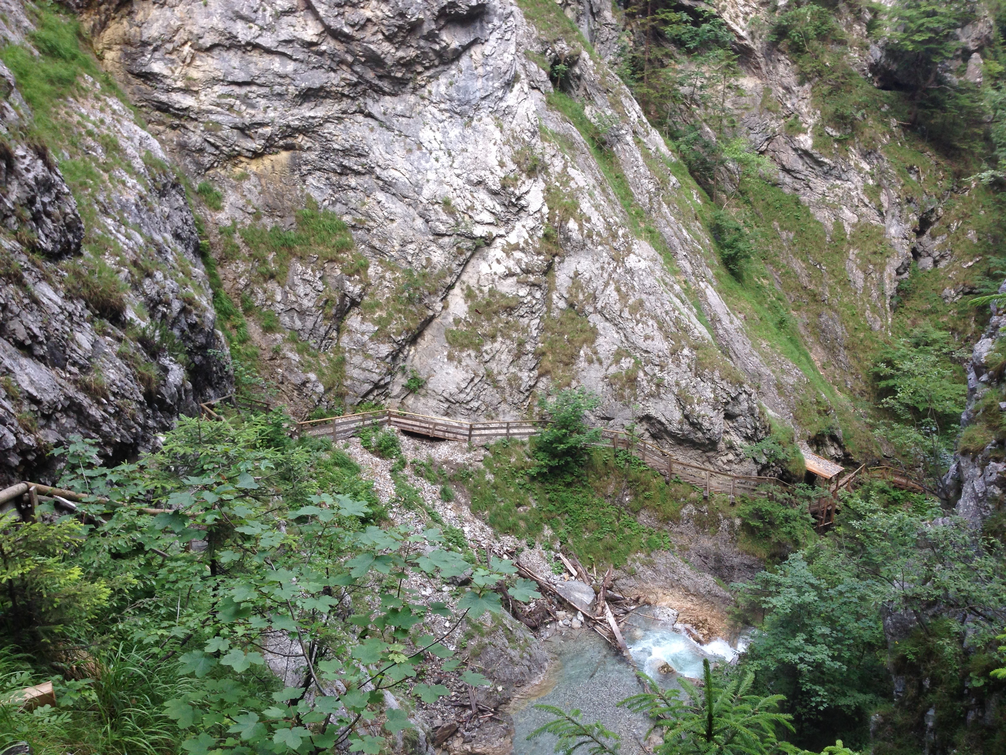
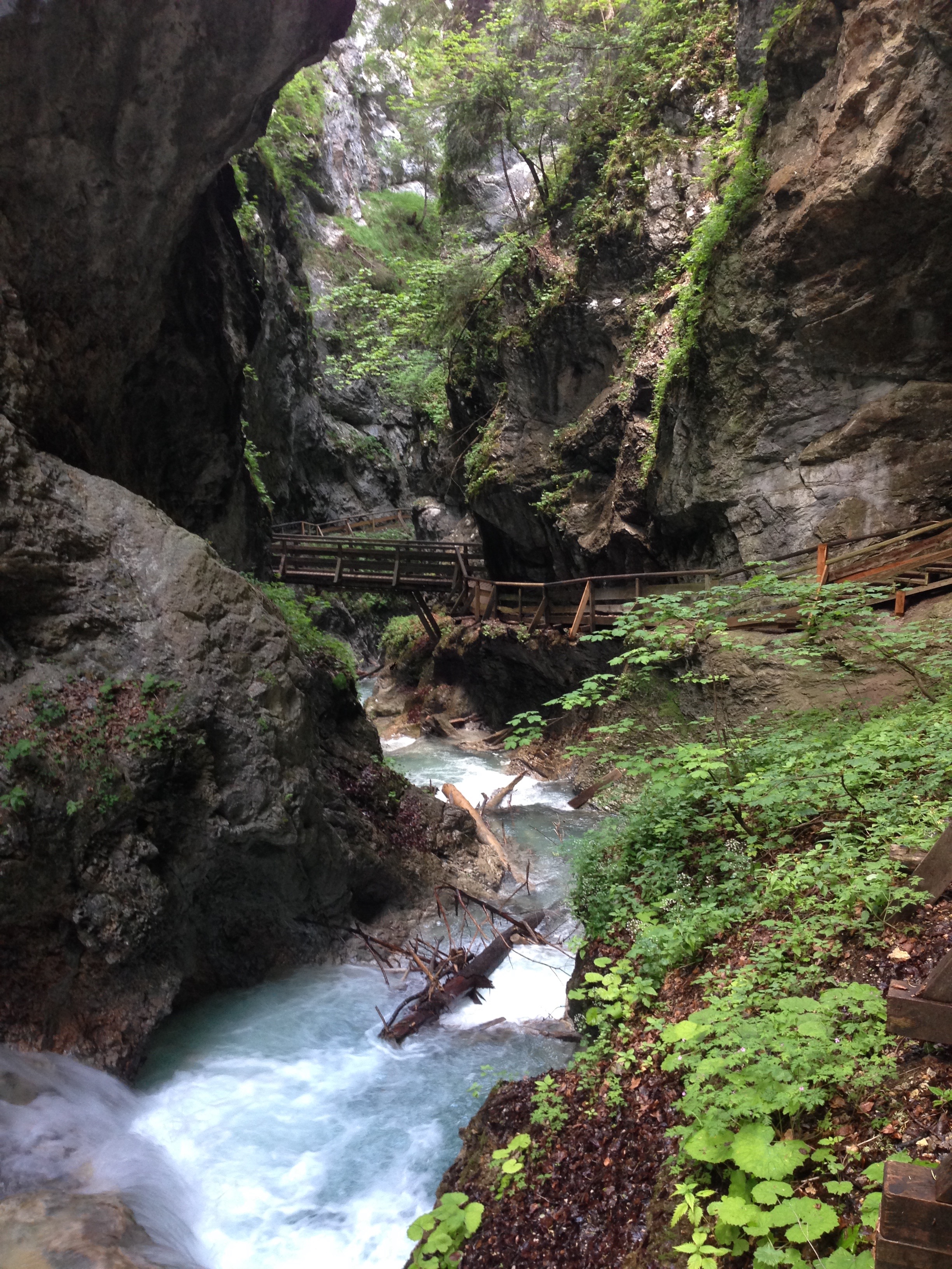
The next day word got out that the boy hadn’t come home. His family, the workers, the neighbors and soon the whole village was searching for him, along with the police. Soon enough they found tracks of the boy’s sled. The tracks led from Maria Larch, through the so-called Sau Valley through the woods, crossed the Umlberg road, went straight up nearly vertically on the steep and icy slope of the Walder Pass, cut through the meadow there to the summit and descended the north side into a gap, where with a sleepwalking instinct he had made his way between the cliffs down to the stream. Here his sled broke. His body was found frozen by the stream. He had pulled off his shoes and stockings.

The discovery caused an uproar in the region. Why did the boy leave the marked road in the Larch valley and sled through the fields? Even if he’d become snow-blind, how did he cross the road without noticing it? Why had he not noticed the village lights, clearly visible on the way up the mountain? How did he find his way through the pathless gorge in the dark? There were no answers, and no one wished to mention the Irrwurzel out loud.

In the Gnadenwald church’s chronicle the priest had written: “Johann König, single, farmer’s son, in the night of January 4th-5th, 1912, strayed in confusion, found frozen in the Vomp Gap and brought home.” In the city one spoke of an epileptic fit or schizophrenia, perhaps brought on by an unknown force of nature. — I.M. Metzler”

Also included in the post is an article written by the blog author’s father and found among his papers, and in English at that. Here with permission:

THE “IRRWURZEL”

TRADITIONAL FOLKLORISTIC INTERPRETATION OF A POSSIBLE

UNKNOWN GEOPHYSICAL PHENOMENON?

By Alois Schönherr

In the Tyrolean, Austrian and German folklore, there is the tradition of the so called “Irrwurzel”, a mythical root, which, if stepped on, allegedly distorts the orientation of the wanderer to such an extent that he or she will become unable to find one’s way even in a perfectly familiar environment. 1)

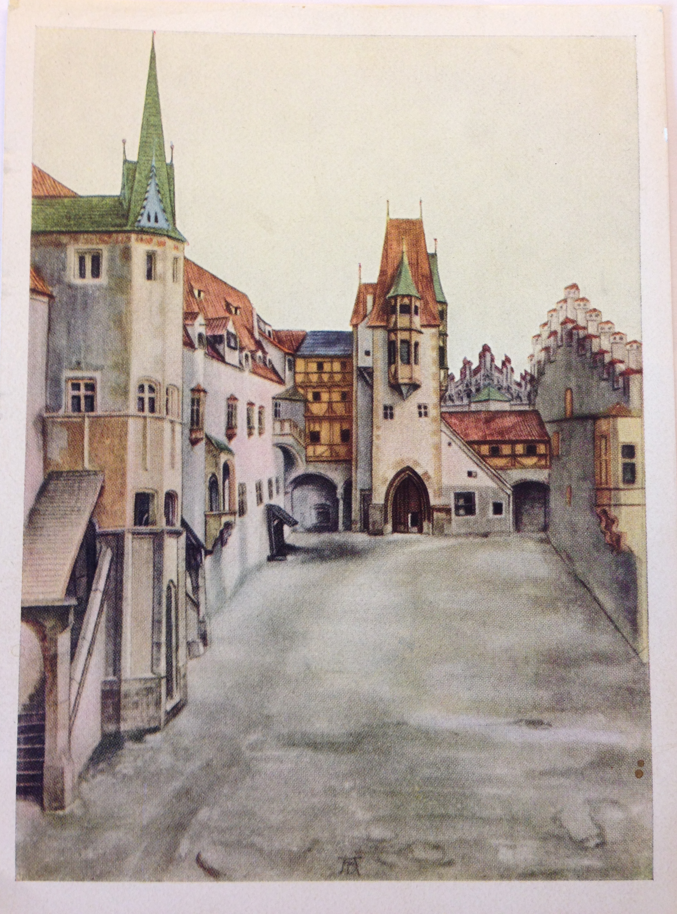
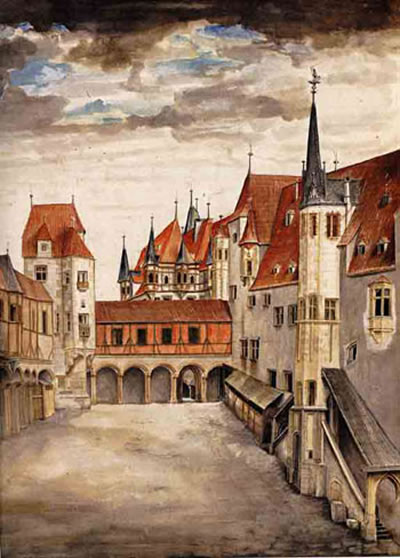
Alpenburg writing in 1857 relates that according to tradition the Irrwurzel is very frequent in the pastures below the Tratzberg castle, between Schwaz and Jenbach (30 kms east of Innsbruck), “where everybody is careful, not to walk through with bare feet” , but just how it looks – nobody knows. He also writes that “today the Irrwurzel is no longer known” (i.e. the term is not associated with a certain botanically known plant or root) because in 1803 a dying oil-trader from the Ziller-valley burnt the last specimen by order of a priest. 2) It seems that similar to the personifactions of natural forces like wind or ligthtning as gods, the Irrwurzel constitutes a sort of botanic rationalization for certain mysterious effects.

At least in the Tyrol, stories about the Irrwurzel aren’t always located in a vague, hazy, undated past or associated only with unknown persons and places. The following tale, also related by Alpenburg, can be considered as typical:

One day in 1832 at three o’clock in the morning the porter Jakob Tunner from Alpbach departed from the Kupal alp in the Hinterriss with a load of 100 pounds of butter for Jenbach. After a quarter of an hour, fog fell in but the porter proceeded as he knew the way very well, having used it a “thousand times” in both directions before. He walked for hours, but he never reached the pass leading to the Inn-valley. At noon he rested and prayed, then he went on again. Finally, late in the night, he perceived a hut in the distance. It was the Kupal alp, from where he had started twenty hours before. He was so confused that he asked after the name of the alp. The herdsmen there said he must have stepped upon an Irrwurzel. 3)

NOTES AND REFERENCES

1) In Germany the term “Irrfleck” is more popular, which means a definite spot, a sort of haunted place so to say, where orientation is distorted.

2) Alpenburg, Johann Nepomuk Ritter von, Mythen und Sagen Tirols, Verlag von Meyer und Zeller, Zürich 1857, p. 409.

3) Ibid. p. 410

below the Tratzberg castle, between Schwaz and Jenbach (30 kms east of Innsbruck)”

It’s All Related

And here we tie the two previous posts together with a 15th-century ribbon:
Und hier fügen wir die beiden vorherigen Beiträge mit einem Band aus dem 15. Jahrhundert zusammen:

blog_Duerer_Brennerstrasse

Albrecht Dürer, Brenner Road in the Eisack Valley, 1495. Made, as with the Innsbruck paintings, from a journey to Italy. Note the wheel tracks in the road. This was the “Brenner Autobahn” during the Middle Ages and probably long before then as well.

Albrecht Dürer, Brennerstraße im Eisacktal, 1495. Gemacht, wie auch die Innsbruck Gemälde, auf einer Reise nach Italien. Beachten Sie die Spurrillen auf der Straße. Dies war der “Brenner Autobahn” im Mittelalter und wahrscheinlich auch lange davor.

Image found here

Five Views of Old Innsbruck 1496-1750

DürerIBKSouth
The Beau found a postcard in an old book, with this image of a painting by Albrecht Dürer. It shows the inner courtyard of the Hofburg in Innsbruck, or the “Hof der Burg”. I was immediately curious.
Because: you look at this and think, “Yeah, pretty, I guess. Long time ago.” I look at this and think, hang on, where was that crenellated wall? What’s there now? Can I stand in the same place? Will I recognize it when I see it?
Some searching revealed that the painter (and viewer) are looking south, and that another Dürer painting of the same courtyard exists, this time facing north. Neither view even remotely resembles what one sees when one looks into the large courtyard of the Hofburg today.
Mein Freund fand eine Postkarte mit dem Gemälde von Albrecht Dürer in einem alten Buch. Es zeigt den Innenhof der Hofburg in Innsbruck, oder der ” Hof der Burg ” – und das machte mich neugierig.
Denn, als ich das sah dachte ich: ” Ja, das ist ziemlich, vermute ich, lange her” und „Moment mal, wo war das zinnenbewehrten Mauer? Was ist da heute noch vorhanden? Kann ich an der gleichen Stelle heute noch stehen? Kann ich es erkennen, wenn ich es sehe?“
Nachforschungen ergaben, dass Maler (und Betrachter) nach Süden schauen und dass ein anderes Dürergemälde des gleichen Hofs mit Blickrichtung nach Norden existiert.
Keine der beiden Ansichten ähnelt auch nur entfernt dem, was man heute im großen Innenhof der Hofburg sieht.

Hofburg Nord
So, let’s take these two Dürer paintings and hold them up alongside his third Innsbruck painting, View of Innsbruck with Patscherkofel (mountain in the background), or, alternately, Innsbruck from the North. Also, nehmen wir diese beiden Dürer Gemälde und halten sie über sein drittes Innsbrucker Bild, der „Ansicht von Innsbruck mit Patscherkofel“ (Berg im Hintergrund), bzw. „Innsbruck aus dem Norden“.

durer-innsbruck

This watercolor painting, whatever its name, is pretty awesome, mainly because Dürer takes the Inn River and makes it into a lagoon, similar to Venice. In fact I think I see a gondola there on the water, no? Did Dürer forget where he was? Dieses Aquarell, wie auch immer es heißt, ist ziemlich genial, vor allem, weil Dürer den Inn zu einer Lagune macht, ähnlich wie Venedig. Tatsächlich meine ich eine Gondel auf dem Wasser zu erkennen, nicht wahr? Hat Dürer vergessen, wo er war?

But no, it’s Innsbruck. This site (g) maintains that one can recognise the fortress’s tower, under scaffolding (as it would have been in 1496). The mountains, too, are local features. At first I took the snowy peak between the towers to be the Serles, but on second thought he may have meant the pointy Glungezer, with the rounded-off Patscherkofel just to its right. The white wall with the notches may be the same wall  in the first image (seen from the back on the right).
Aber nein, es ist Innsbruck. Diese Website) ermöglicht den Festungsturm unter Gerüst zu erkennen, (wie es im Jahre 1496 gewesen sein ). Die Berge entsprechend ihrer Eigenheiten herausgearbeitet. Zuerst nahm ich and die schneebedeckten Gipfel zwischen den Türmen seien der Serles, aber tatsächlich ist das die dem Glungezer vor gelagerte Sonnenspitze, mit der abgerundeten Patscherkofel zur Rechten. Der weiße Wand mit den Schießscharten könnte die gleichen Wand wie im ersten Bild (von hinten rechts gesehen ) sein.

Statt_Inspruck_(Merian)
Here is a slightly later view (Matthäus Merian, Martin Zeiller: Topographia Provinciarum Austriacarum, 3. Ausgabe, Frankfurt am Main 1679) The Inn is depicted as considerably narrower, almost like a tubing ride at a waterpark, but I have to assume that the city itself has been portrayed more or less accurately. And now the Stadtturm is more prominent with its new “Zwiebelhelm mit Laterne” (onion-helmet with lantern, added in 1560).
Hier ist ein etwas später Ansicht (Matthäus Merian, Martin Zeiller, Topographia Provinciarum Austriacarum , 3 Ausgabe , Frankfurt am Main 1679 ) Der Inn ist deutlich schmaler dargestellt, fast wie ein Schlauchrutsche im Wasserpark, aber ich muss annehmen, dass die Stadt selbst mehr oder weniger genau dargestellt wurde. Zu diesem Zeitpunkt ist der Stadtturm mit seinem 1560 dazugebauten Zwiebelhelm mit Laterne etwas markanter.

IBKSketch
And here we have a copy of a sketch by one F.B. Werner, from 1750. (I photographed it off a friend’s wall, the reflection was unavoidable.) One sees that all the towers have been redone in the 250 years since Dürer painted here. My notched wall is gone, it seems. (Or maybe Dürer had taken artistic liberties?) The Wappenturm is still there, however, identifiable by it’s pyramid-shaped top above columns, just in front of the polar-bear-face facade of the Hofkirche. This tower stood (still stands) on the southeast corner of the Hofburg, with a portal which leads into Hofgasse. When the facade at Rennweg was completely renovated (1767-70), a second tower was built on the northeast corner, and both were made symmetrically round.
Und hier haben wir eine Kopie einer Skizze von einem F.B. Werner, von 1750. (Ich fotografierte sie an der Wand eines Freundes, die Reflexion war unvermeidlich.) Man sieht, dass alle Türme in den 250 Jahren, seit Dürer sie malte, erneuert worden sind. Meine Schießschartenwand (Stadtmauer — ed.) ist weg, es scheint. (Oder vielleicht hatte Dürer sich künstlerische Freiheiten genommen?) Der Wappenturm ist noch immer da, erkennbar durch seine pyramidenförmige Spitze auf Säulen (Eckerker — ed.), gerade vor der Fassade der Hofkirche mit dem Eisbärengesicht. Dieser Turm stand (und steht noch) an der südöstlichen Ecke der Hofburg, mit einem Portal, das in die Hofgasse führt. Bei der kompletten Renovierung der Fassade am Rennweg ( 1767 bis 1770 ) , wurde ein zweiter Turm an der nordöstlichen Ecke gebaut, und beide wurden symmetrisch rund gemacht.

We live in an old, medieval city, but in fact much has changed over time, even through the middle ages. Wir leben in einem alten, mittelalterlichen Stadt , aber in Wirklichkeit viel hat sich im Laufe der Zeit auch durch die Mittelalter verändert.

“gen de Kloas’n” / Klais*

IMG_1186

Teachers told us
The Romans built this place
They built a wall and a temple on the edge of the
Empire garrison town
They lived and they died
They prayed to their gods
But the stone gods did not make a sound
And their empire crumbled
Till all that was left
Were the stones the workmen found

— Sting, “All This Time”

The train from Innsbruck to Munich over Mittenwald stops in Klais, an unassuming alpine village of small hotels (for the tourists who come to ski in the winter and hike in the summer) and locals who probably work in Mittenwald or Garmisch-Partenkirchen. Last week I unboarded there to take a look at some  local attractions, one in particular.

IMG_1190First, along the small path called Römerweg (more on that in a bit), one comes across the Kirchfeld (church field), in which a boulder rests. This is the site of the old original Scharnitz Abbey (g), founded in 763 and whose monks moved to another area in 772. Excavations in the late 20th century found a church foundation, traces of living quarters, and a small graveyard. Just a minute further along the path, however, one comes to this:

IMG_1199

A path cut right out of the rock. This is what remains locally of the old Roman “Via Raetia”, which ran over the Alps via the Brenner Pass, Innsbruck, and then on to the Roman provincial capital Augusta Vindelicorum, now known as Augsburg.

IMG_1205
Above, a closer look at one of the grooves which helped determine, by the distance between them, that this road was used by Roman wagons and not wagons from the middle ages, when parts of this route were still very much in use.  (In researching this I stumbled upon a old tale which claimed that the US standard railroad gauge descends directly from the distance of the grooves left by “Roman chariots”. This story is false, for several reasons, but one of them being that the Roman army didn’t use chariots, which were so light that they wouldn’t have been leaving grooves anyway. The grooves come from plain old horse-drawn carts laden with goods, for army use or for trade.)

IMG_1200Römerweg ends here at this unpaved road, which leads to the main road back to Mittenwald. The Via Raetia probably does not lie beneath it, but rather somewhere hidden under pasture. Or maybe it does. One could cycle a bit of the general area of the road, although there is no fixed bike route as there is with parts of the Via Julia. The “Via Raetica Bike Path” is something else altogether, along the Danube near the Roman frontier. This online compendium of the Via Raetia would be useful in planning a route. Perhaps, with some deeper research and field work, I could publish my own someday…

*Ah yes, the title to this post.  A sign at the abbey site mentions, in the original documents pertaining to the dedication of the abbey, that the faithful of Mittenwald came to the church gen de Kloas’n [Geleisen], or “along the wheel tracks”. Although it has also been put forward that the village of Klais got it’s name from the Kloster, or even from the possibility of a clausura (military camp), the connection to the Geleisen seems to me the best answer.

AND: why you can’t walk/cycle a Roman road in it’s entirety. Note the lines indicating the tracks. Image from here (g).
www.kaluwi.de:Esch_Ech.html

Pagans In Tirol: The Medicine Woman from the Gurgl Valley

IMG_0632

I persuaded a good friend to drive me to the village of Tarrenz (in the Gurgltal, north of Imst) to visit the brand-new museum built to house a fascinating archaeological discovery there — die Heilerin von Gurgltal, which more of less translates as the “Medicine Woman” from the Gurgl Valley. Alternately she’s referenced as being from the Strader Wald, or from the forest in nearby Strad. The story in a nutshell:

Tarrenz lies along the Via Claudia Augusta, one of the old Roman roads over the Alps. Hobby archaeologists are attracted to this area because of the artifacts that can be found along old roads. Some such treasure-hunters were combing the woods with a metal detector, and came across the first signs of something very interesting and ultimately very mysterious.

Eine Freundin fuhr mit mir neulich nach Tarrenz (im Gurgltal, bei Imst), um das nagelneue Museum der Heilerin vom Gurgltal zu besuchen. (Alternativ ist sie die Heilerin vom Strader Wald gennant.) Tarrenz liegt entlang der historische Via Claudia Augusta, ein Ziel für Hobbyarchäologen, wegen der Menge von Artifakten, die man neben alten Strasse finden kann. Ein paar solche Schatzsucher waren vor einige Jahren mit einem Metalldetektor im Strader Wald; dort stießen sie auf einen interessanten und mysteriösen Fund:

IMG_0628

It was the grave of a woman, found lying face-down, along with a bounty of small and valuable objects — metal instruments such as scissors and keys, coins, pearls and crystals, a thimble, and — the headline-grabber —a set of metal cups used for cupping therapy. Dating places her having lived during the time of the 30 Years War, in the first half of the 17th century.

Das Grab einer Frau, in Bauchlage beerdigt, zusammen mit einer Menge kleine wertvolle Gegenstände — ihre Habseligkeiten. Eine Schere, eiserne Schlüssel, Münzen, Perlen, Kristallen, ein Fingerhut, und — meist interessant — ein Set Schröpfköpfe aus Metall. Hier der archäologische Befund. Die Frau lebte während der Zeit des Dreißigjahrigen Krieges.

IMG_0629

The circumstances don’t fit together in the usual way. She was buried quite far from the cemetery. A foreigner? A suicide? Possible Jenische*? She had, much like Ötzi did, her whole “professional kit” with her. Added to her grave as a kind of honor? Or thrown into it in a hasty burial? Then there’s the “face down” business, which normally is found to have been the custom for criminals. But she clearly hadn’t been executed as a witch, not with all those valuables in the grave with her, even though witch trials were very much in at the time.

Die Sachen passen nicht zusammen wie erwartet. Die Frau wurde ziehmlich weit weg vom nächsten Friedhof begraben. Eine Fremde? Ein Selbstmord? War sie Jenisch? Wie Ötzi, sie hatte ihre professionelle Werkzeuge dabei — wurden sie mit ihr mitbegraben, als ein Ehrenzeichen? Oder schnell hineingeworfen in Eile? Aber sie wurde gegraben mit Gesicht nach unten, wie man Kriminelle bestattete. Offensichtlich wurde sie nicht hingerichtet, sonst hätte man keine Grabbeigaben gefunden, obwohl die Hexenprozesse damals ganz in Mode war.

The museum tries to bring you in with carefully portioned experiences. First you hear  of the arts of healing as practiced in these parts, and how knowledge was handed down through generations. Then you learn about some actual cases from Tirol which involved persecutions due to superstition and fear. The antisemitic source — and consequences — of Anderl of Rinn is an example used.

Das Museum führt den Besucher vorsichtig in kleinen Etappen ein, vermutlich für die sehr junge Besucher. Man lernt von Heilkunde und wie das Wissen von Generation zu Generation übergeben wurde. Dann wird man gelehrt über wahre Öpfer von Aberglaube und Angst in Tirol, zum Beispiel die antisemitische Ursprung — und Folgen — der “Anderl von Rinn” Geschichte.

You are then ushered into to larger room to watch a short film combining the facts of the find (given by the head of the archaeology department at the University of Innsbruck, Professor Harald Stadler) with a dramatized version of what might have happened, using locals as actors. Their version involves a heathen midwife, banned from the community and the church (same thing back then) but nevertheless needed and called whenever someone got sick. A stillbirth is enough to have the villagers accuse her of witchcraft, and then tempers get hot, someone (guess who) gets killed, and a hasty, fearful burial is carried out in the forest. Entirely plausible — although often the truth is a lot more boring (she died of illness, her outsider travelling companion(s) buried her as best they could, and moved on?)
After the film ends, you finally get to see the skeleton and the artifacts, laid out under glass with plenty of information about their provenance and uses. The tour guides — a husband-and-wife team — are very much involved in the project and were able to answer questions in depth.

Man kommt dann in einer Halle und ein Kurzfilm läuft. Archäologische Details (von u.a. Universitätsprofessor Harald Stadler) alternieren mit einer Dramatisation von der Geschichte — also, was hätten passieren könnte — mit einheimische Mitwirkenden. In ihrer Fassung, ist die Frau eine Außenseiterin, eine heidnische Hebamme und Heilerin, aus der Gemeinde verbannt, dennoch in Krankenfälle immer wieder gerufen. Ein Totgeburt führt zur Vorwürfe von Hexerei, die Frau getötet und in Angst und Eile im Wald begraben. Alles schon möglich — obwohl die Wahrheit ist oft weniger interessant.
Dannach darf man den Skelett samt Artifakten (in Vitrinen) -endlich- sehen. Die Führer — ein Ehepaar — sind im Projekt involviert und konnte viele Fragen reichlich antworten.

If you go: the Museum der Heilerin von Gurgltal; is located within another, outdoor museum called Knappenwelt, which is a recreation of a small mountain mining industry from the olden days. You can buy a ticket for either, or in combination. Drive to Imst and then north on the 189 toward Fernpass. It’s trickier if you don’t have a car, but apparently this tourist shuttle will get you there from “downtown” Imst to the Knappenwelt. You’ll still have to walk from the Imst station, which is a bit removed from town.

Anfahrt: das Museum befindet sich in der “Knappenwelt”, ein Freilicht Museum. Von Imst kommt man mit dem Strasse Nr. 189 richtung Fernpass nach Tarrenz. Ohne Auto wird’s schwieriger, aber wenn man in Imst von Bahnhof ins Zentrum geht, findet man den Bummelzug “Bummelbär”, der macht einen Tour von Imst nach Strad mit Zwischenstops.

*Jenische is a name used for a certain nomadic people in Europe. They are not related to the Roma or Sinti — in fact they may not be an ethnic group at all but fall under the generic category “gypsy”.  Wikipedia likens their language to Cockney.