Weekend Mountain Blogging: Stubaital

Pagans In Tirol: This cave, when rediscovered in 1976, held pottery from the La Tene era, the pottery being more specifically from 500-300 BC. This cave is presumed to have been a holy spring (Quellheiligtum) for the local residents. Whether they also kept their local brew at a desirable temperature here, no one can say…

The Stephansbrücke was a very big deal when it was erected in 1843, and Archduke Stefan Franz Viktor himself came to the ceremony to lay the foundation stone, at the tender age of 26. The bridge was part of continuous improvements on the Brenner Road, which stretches from Innsbruck over the Brenner Pass into Italy. The history of this highway is long — the Romans made the Via Raetia, and that road (and its later incarnations) remained the most direct way to all points south for a long time. Occasionally one might see an old Austrian or Bavarian film from the 50s or early 60s, where a journey to Italy by car leads over these very roads, some not yet even paved. Then the Brenner Autobahn came and changed everything.

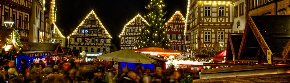
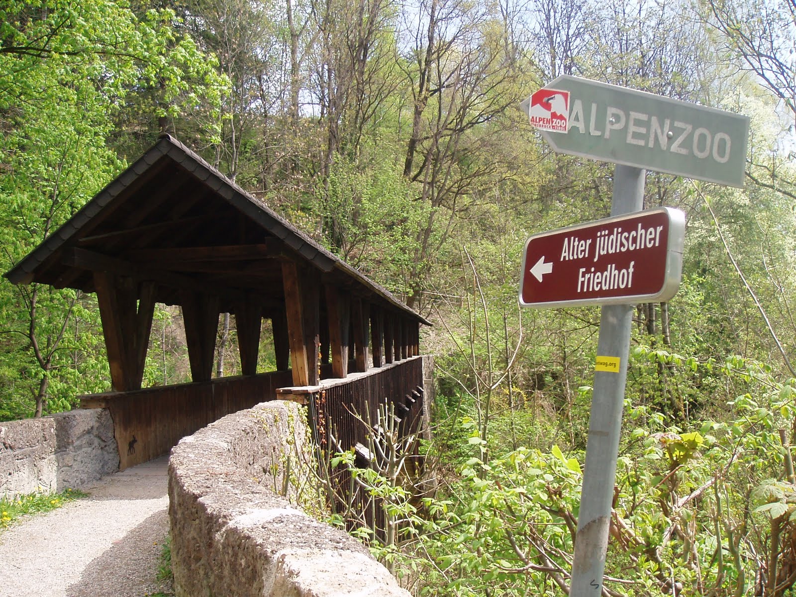
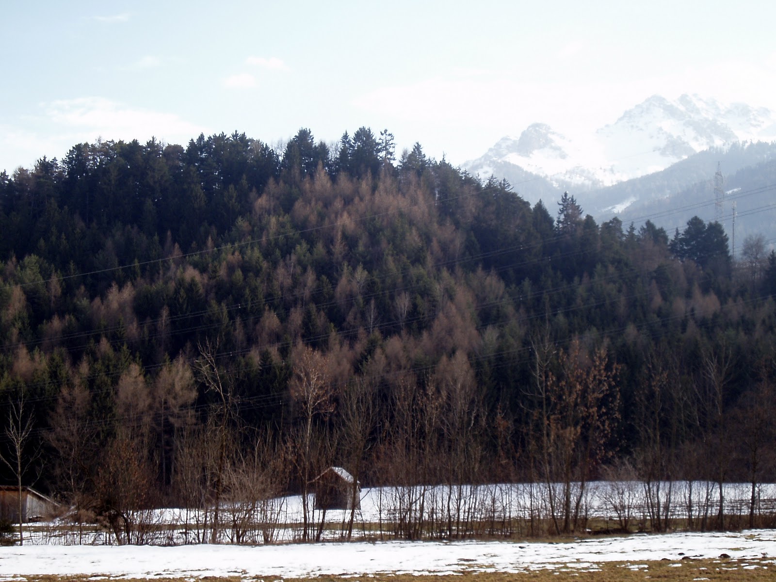
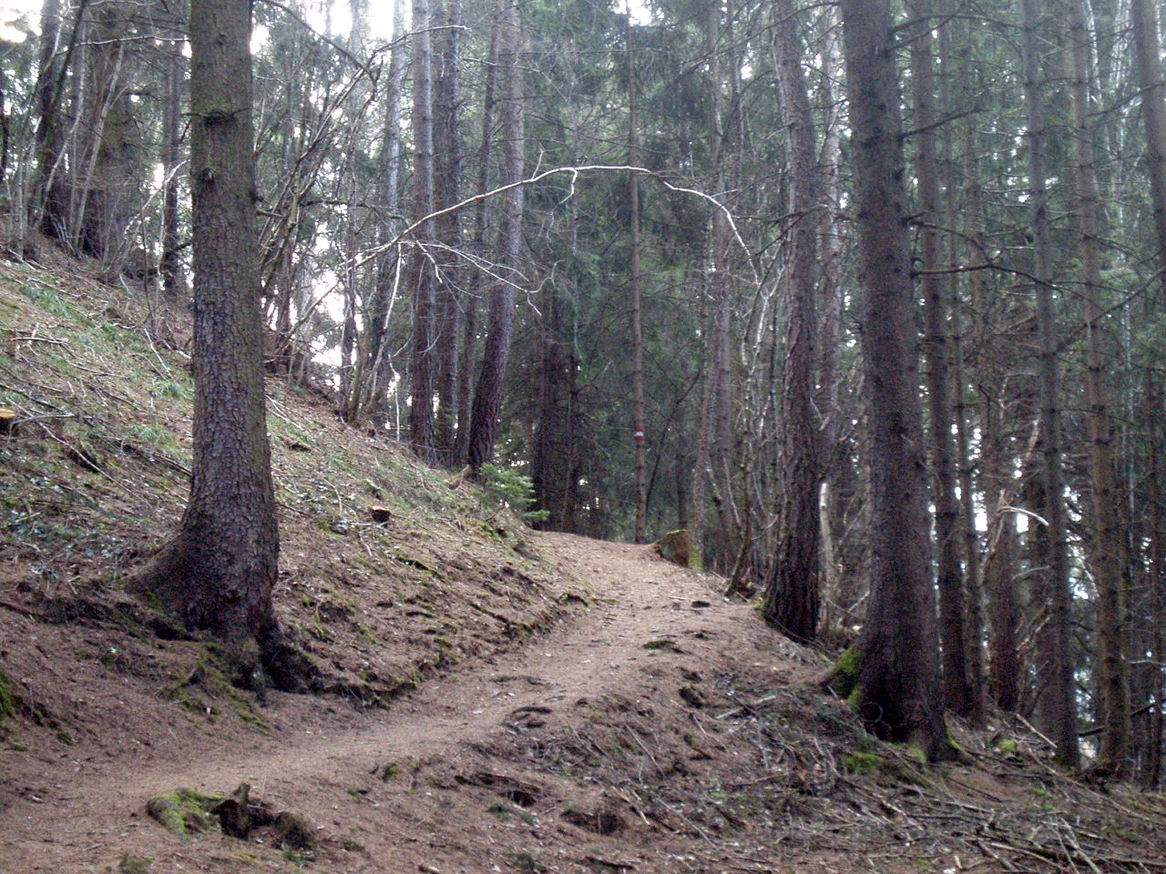
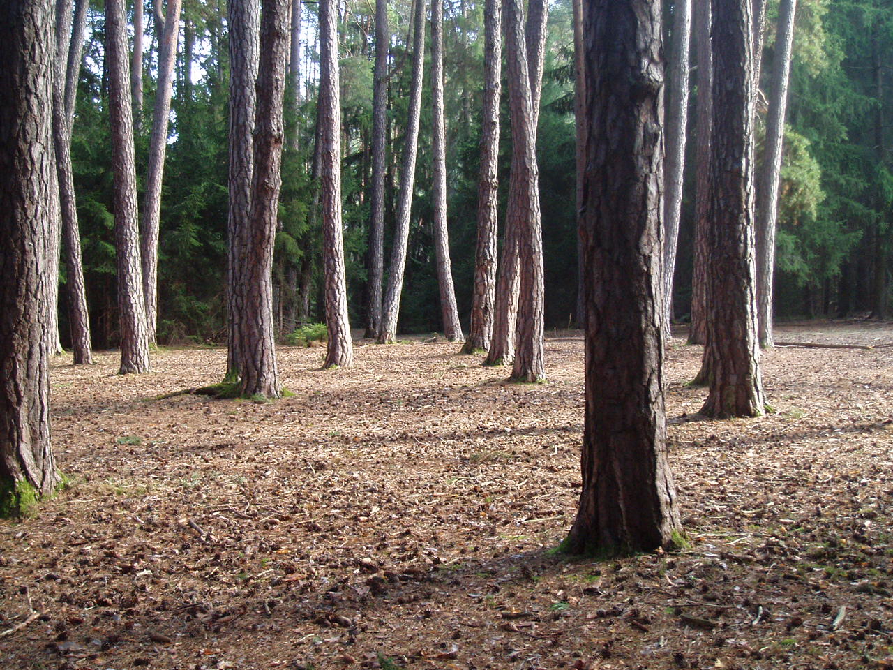
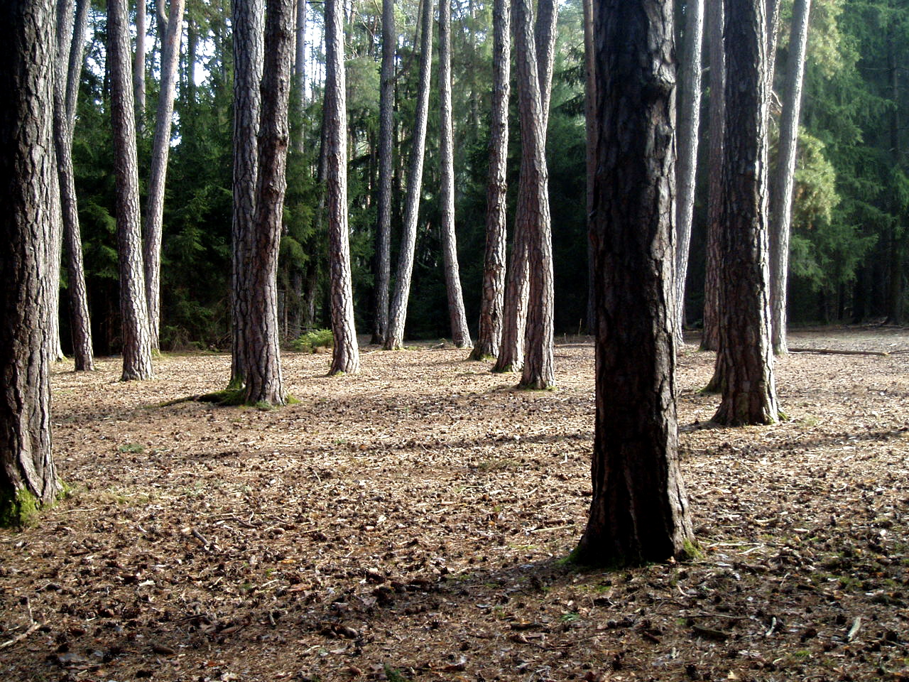
I did not cross the Stephansbrücke, but I did cross this. The woods and valleys looks just as they should in early spring — crocuses are blooming, and other wildflowers along the forest trails. The songbirds are back, and I saw plenty of butterflies and bumble bees — which brought relief, since one hears so much lately of these critters becoming scarce.

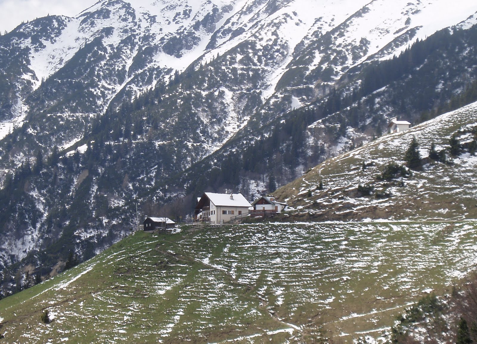
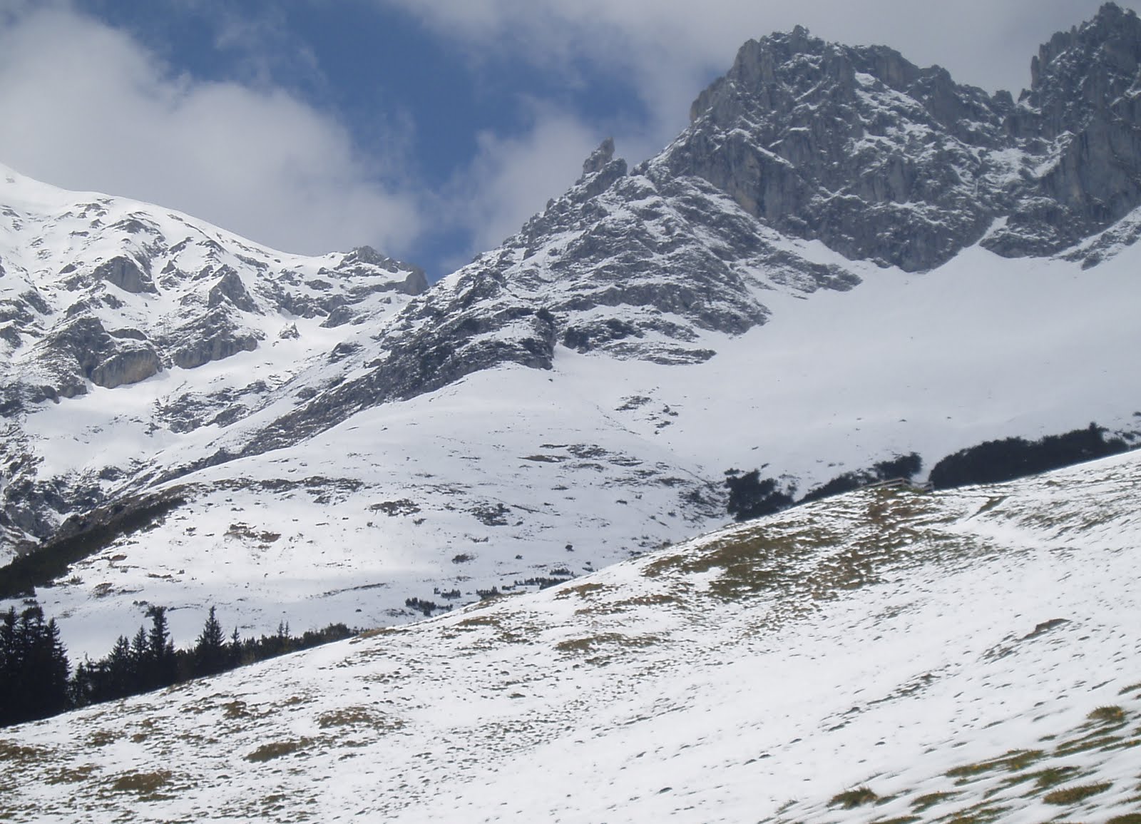
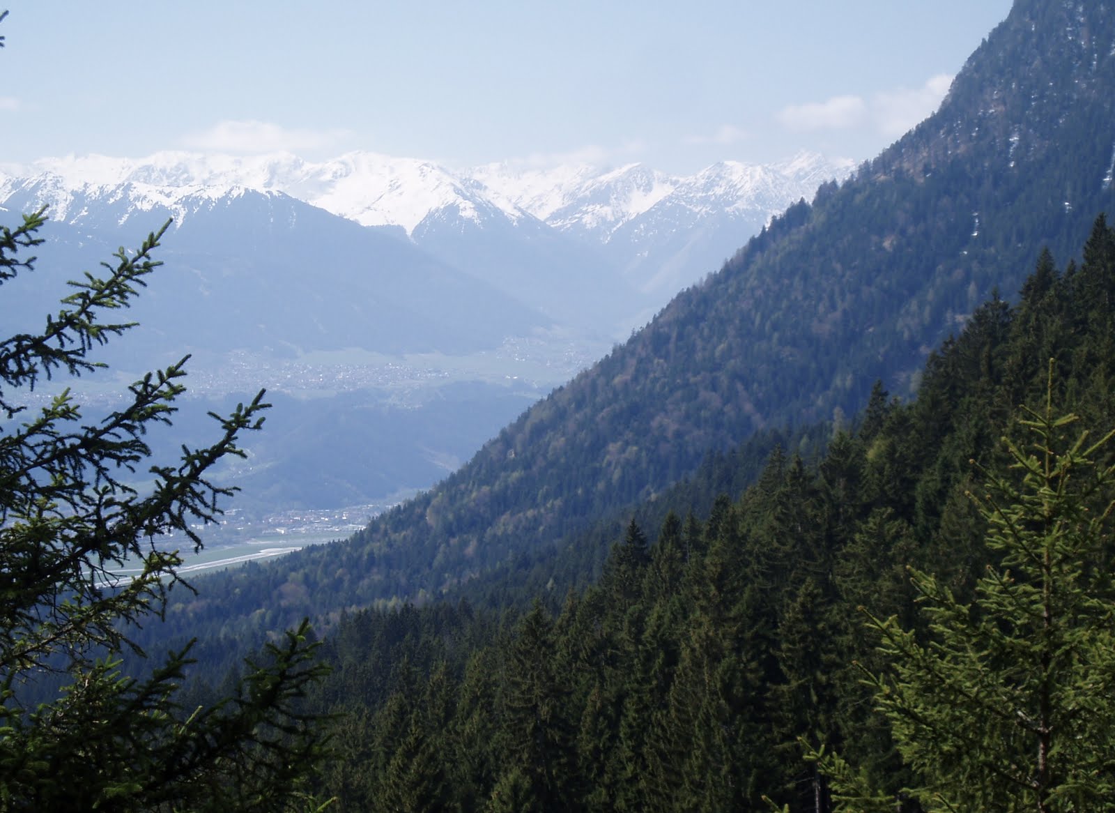
This long hike began in the Stubai Valley (via tram) and continued north, toward the Northern Range and the Patscherkofel, following the Ruetz and then the Sill River (mostly a creek, especially this far upstream) The Bergisel ski jump tower, like a beacon, signals that home is finally near.

Weekend Mountain Blogging: How The Irschenberg Got Its Name


(Above: the pilgrimage church in Wilparting, alleged home of the bones of Marin and Anian, although the monastery at Rott am Inn maintains that they have the real relics. Image found here.)

Well, Wikipedia will tell you that it comes from the Latin Ursus with the old German Perg, to mean “Bear Mountain” (there is a written reference to “Ursenperig” from 1315).

However, both Wikipedia and the book Unbekanntes Bayern (Unknown Bavaria), volume 4, refer to the legend of the Irish monks Marin and Anian who had settled there in the 7th century, bringing Christianity to the local inhabitants. Marin was martyred by marauding Vandals, and Anian, the story goes, died simultaneously of natural causes. They are referred to as Scotch-Irish, or Iroschotten. “Iroschotten” > “Irschen”.

Just something to think about next time you drive over the Irschenberg on the A8.

Added bonus trivia: the 2001 film Die Scheinheiligen takes place in Irschenberg, the plot revolving around construction plans for a fast-food reststop for the nearby Autobahn. (There is in fact a McDonald’s there now. The modern version of marauding Vandals.) The word scheinheilig refers to someone who is sanctimonious, hypocritical, holier-than-thou-but-faking-it.

Bruegel’s “Hunters In The Snow” in the film “Melancholia”

Much has already been written on the artworks featured in Lars von Trier’s new film “Melancholia”. One of them, in fact the first painting you’ll see in the film’s prologue, has a possible local connection and, if so, an interesting feature.
Viel wurde schon geschrieben über die Kunststücke in den Film “Melancholia”. Eines davon, das erste Gemälde das man im Film sieht, hat eine unbewiesene aber sehr interessante Verbindung mit Innsbruck.

“Hunters in the Snow”, Peter Bruegel (or Brueghel) the Elder, 1565.
Image from Wikipedia.de

One Professor Wilhelm Fischer of Innsbruck wrote an academic treatise a while back, maintaining that Bruegel, on his return trip from Italy, must have come through Innsbruck and made sketches of the landscape. In his opinion this is clearly the village of Amras, the Sill River, and the Inn Valley beyond (with some artistic changes taken into account. The valley is a tad too narrow so the other settlements are not exactly in the right place, for example. And our mountains are not that pointy.)

Der Innsbrucker Professor Wilhelm Fischer behauptet, daß Bruegel auf seiner Rückreise aus Italien in Innbruck weilte, und machte Skizzen von der Landschaft. Laut Fischer ist das Dorf im Bild offensichtlich Amras, mit der Sill und dem Inntal im Hintergrund (man muß aber dann manche künstlerische Freiheiten einkalkulieren — das Tal ist zu eng, die andere Siedlungen sind nicht genau, wo sie hingehören sollen. Und die umringenden Berge sind nicht so spitz.

If this is so, then that skating pond may well be the lost and forgotten Amraser See — remember the Amraser See? It vanished some decades ago and now the DEZ shopping mall stands in its place. What an apt subject for the film.
I doubt Lars von Trier had even heard of this, perhaps he used the painting among others to show melancholy (the dejected hunters and even their sorry-looking hounds) being confronted by both gaiety (villagers out and about)  and disaster (according to this blogger the farmhouse on the river has just had an explosion. In any event, it is burning.) Like Justine’s arrival at her wedding reception, you might say. We could continue into the theme of Death As Bridegroom but that’s beyond the scope of my knowledge.

Wenn dieses Gemälde das Dorf Amras zeigt, dann ist der Teich im Bild der verschwundene, vergessene Amraser See, wo jetzt der Einkaufzentrum “DEZ” steht. Herr von Trier weiß davon sicher nichts; vielleicht stellt das Bild für ihn eine richtige Melancholie dar,  (die niedergeschlagene Jäger sogar ihre Hünde),  die mit Fröhlichkeit (die Dorfleute) und Pech (ein brennendes Haus) konfrontiert wird. Man vergleicht ihr Ankommen mit Justine’s Ankommen an das Hochzeitsfest (im Film).

Considering the film’s theme of everything going under, the inclusion of a painting which itself shows something already lost and forgotten is interesting (to probably nobody but me, but hey, it’s my blog and I get to write what I want.) A lost world inside a lost world.

Ein Bild von einem verschwundenen Ort, in einer Geschichte über das kommende Verschwinden unserer Welt. Eine verlorene Welt in einer verlorenen Welt.

More about the artworks featured in the film here (English) and hier (deutsch.)

Weekend Mountain Blogging: To The Gletschermühle


A walk through the quiet and somewhat mysterious Ullwald, in the shadow of the Patscherkofel, earlier this week.


The local sights include the Gletschermühle, a small “glacial mill” carved into the stone by thousands of years of ice age melt.


As water poured off the melting glacier, the churning water, mixed with stones, hollowed out a “kettle” in the rock below.


When I scrambled over the rocks to the other, lower side, an idea struck me. Although this “carving” is a natural formation, it must have been important to earlier inhabitants due to its rarity. And if 4000 B.C. Man was really no less genetically primitive than 2000 A.D. Man, he would have to have been impressed with this rock face in a majorly theatrical way, as backdrop for ritual. Perhaps the massive cathedral high altar of today is a descendants of the mass of rocks behind the priestess/priest. My camera couldn’t do it justice, unfortunately.

Not far away, what 2000 AD Man has been up to: A stone labyrinth, close to the Mühlsee tram station.

Pagans In Tirol: Schalenstein

My best blogposts lately have been inspired (stolen) from others’ efforts, and this one will be no exception. Earlier this month fellow blogger Paschberg went exploring on the newer trails carved out by the mountainbikers, and came across a rock cliff with cup markings carved into the top. This would be the second set found, after the boulder near Tantegert. Naturally, I needed to go find this for myself, and so, equipped with a marked google earth map graciously sent to me, I set out to find the Schalenstein.

After wandering around the general area (there are all sorts of named and unnamed tracks criss-crossing around over there), I circled back and came across this rock face, part of a longer ridge that cuts through the woods.

And sure enough, at the top was a flat, square-shaped boulder, with three cup markings bored into the surface. I was delighted to find it, and at the same time wanted to kick myself for passing so close to this area regularly for nearly two years, and never looking around over this way. This Schalenstein was practically in front of my nose, or better said, over my head.

Behind the rock is a kind of partly enclosed ledge, big enough to sit on. That’s where I noticed the bolt anchors — there are several of them driven into the rock at different heights. Clearly, this cliff is being used for rock climbing practice.

And at the so-called “witch’s cottage”, just a minute or two down the path, it became a little clearer that the climbing practice has some connection to whoever uses the cottage now. Note the climbing holds decorating the wall, and the photograph next to the door.

I walked further uphill along the ridge to inspect more boulders, but they are all covered with thick moss and tree roots. There’s just no telling what’s underneath them. The Schalenstein was the only rock that was somewhat free of moss — which leads me to believe that it’s being somehow, anonymously, maintained.
I once asked an archaeology-minded friend about the cup markings in the rocks here, and she responded with cynicism. There are fakes, there’s no proving their antiquity. She has a point, and the rocks don’t seem to be of interest to anyone official (Not that I can see. Maybe I’m wrong about that.) But they are there. The sacrificial altar sites at Goldbichl and Bergisel are not all that far away, nor is the possibly-Pagan “Judenstein”. It is said there are other marked stones in the area, hidden away in the woods, waiting to be visited.

Forgotten Innsbruck: A Photo Book

Recently an old, tattered copy of a photo book on Innsbruck by one Adolf Sickert (Innsbruck: Ein Farbbildwerk, published by Meinhold Verlagsgesellschaft, Dresden 1943) fell into my hands, and some of the photographs I found interesting enough to scan and post here. For example this view of the Serles over the snow-covered rooftops of the old town, with its swastika-draped facades.

This town square still looks pretty much the same — the fountain is still there, and the grass, and even that nice big tree. The old ladies are gone, replaced by young homeless men and their dogs. The name of the square, too — at the time it was Adolf-Hitler-Platz, but it went (back?) to Theaterplatz after all that business ended.

The old Hungerburgbahn — would this be one of the original cars? — had open windows from which one could lean out. This track is no longer used since the new line was built, but the bridge is still there.

The arch, where Maria-Theresien-Strasse meets Maximilienstrasse. The gun shop is now a bakery/lunch counter. The “oldtimer” trams, like the one shown here, are pulled out and run every so often.

Forgotten Bavaria: Sunderburg

High above the Amper River lies a mountain spur known as the Schlossberg (Castle Hill) or the Sunderburg, where evidence has been found of settlements from different eras. Excavations have shown that people lived here as early as the early Bronze Age (app. 1700-1600 BC). and there have been finds belonging to the Urnfield Culture (app. 1200-800 BC, and there are indeed grave mounds nearby.) In the Hallstadt Culture years the settlement was apparently abandoned. I have no knowledge as to whether the Romans used the hill for any strategic purpose, although it is rather close to the Via Julia, the roman salt road which ran from Salzburg to the Donau at Günzburg.

In the 11th century a fortress was allegedly erected on the hill by Count Friedrich of Diessen-Andechs, and Middle Age archaeological finds confirm this. The name Sunderburg was first mentioned in records in 1447. The House of Wittelsbach built a hunting lodge there in the 16th century.
On the steep slope to the river one finds mixed forest an, below that, rare flora in the wetland meadows downriver.

There is no information on hand about the earthwalls an the plateau, they could have been constructed in any of the periods where people used the hill.
An old local tale about the Sunderburg tells of it going under with all its inhabitants and treasures. A peasant, finding glass shards on the ground, took one home to find it had turned to gold. When he returned for more shards, they had all vanished. Another story tells of two pails of gold deep in the castle well, guarded by spirits which cannot be banished, which sinks further into the mountain every year. Similar stories of ancient gold in ancient fortresses can be found in Tirol, and probably wherever old, pre-christian settlements are known to have been. The locals may have known nothing of those prehistoric people, but the myths and legends often contain something of them.

>Weekend Mountain Blogging: Höttinger Alm

>

The Höttinger Alm, 1487 meters above sea level,  opened for the season on Saturday.

“Frau Hitt”, looking like a finger pointed in the air. Probably the closest I’ll ever get to it, not being much of an experienced climber. (Makes a nice desktop screen shot, too.)

It was a relief to get back down to the warmer valley, and back into spring. On the way down I noticed a shrine of stones to a recent (2010) avalanche victim named Thomas Charry. It looked new-ish and more than the usual little plaque, so I looked up the name later: he was a ski photographer and blogger (link to blog, in French). His blog is being maintained by family, and they have been putting up Charry’s photos (both of him and by him) regularly. Which prompts me to remind all bloggers to have your passwords and account information stored where a trusted someone can access/delete/memorialize your pages, should you die suddenly. There are thousands of frozen, inaccessible sites out there, the bloggers having died and taken their account information with them to the grave. Write it down and stash it somewhere safe (but not impossible to find!)

>Pagans In Tirol: Der Judenbühel

>

 Below the Alpenzoo, close to the Hungerburgbahn, is a bridge to a hill called the Judenbühel, or literally, Jews’ Hill. From a cursory online search I found that the first written reference to it is from 1598, when a Jewish local man got permission from court to establish a family plot there, “where the old Jewish graves were”. 

  
The old Jewish cemetery (rediscovered and now an historical site — the actual cemetery moved to the Westfriedhof in the 19th century) is found on a southern slope, not at the top. The top of the Judelbühel is as flat as a pancake, as wide as a parking lot, and circular. It currently holds a grassy park with a playground.

 The sides of the hill are covered with moss and trees, but there are places where the ground is eroding. And here you can see that there are no stones in this ground at all, it’s all just earth and tree roots. Which I find unusual, since this whole region full of rocks and boulders of all sizes. Was it landscaped in the last 100 years, or did it slowly grow, like the altar mound atop the Goldbichl?

 There may be perfectly modern answers about the flat-topped Judelbühel (maybe the top was landscaped for the playground in the last century or two?), but I haven’t found them yet. In the meantime I am left with comparisons to the Hexelbodele near Birgitz, and Schlern, and Bergisl and the Kalvarienberg, and other flat-topped hills which have histories as places of pre-historic communion. 
Which brings me back to Norbert Mantl and a few things he speculated about, in his book about pre-christian relics in the Inn Valley. One was that a few place-names beginning with “Jud-” are morphed from “Haid-” or some medieval version of it, which means “heathen”, which makes sense if you remember that to the early Christians (and in some places today too), Jews were just another kind of heathen. Mantl writes:

‘[The Judenbühel] is supposed to have gotten its name from the old Jewish cemetery which had been here… however it always questionable to view such cases as chapters of Jewish history. The Judenbühel is a “heathen” hill and for this reason only did the Jewish cemetery end up here, because Jews, as arch-heathens, could only be buried where other heathens were buried. One would never have allowed [in the Middle Ages] a Jewish cemetery to be built in such a beautiful place, if the Judenbühel and its neighbor the Ruch* had not already been home to the oldest and most evil form of heathendom. [Here I think he is referring to the Three Bethen.] Stone-age finds were made on the hill, therefor there was a very old settlement here and one can assume with some certainty that the hill was a holy place**, from which it got its name in early Christian times, independent from  later Jewish settlement in Innsbruck.’

 Smack in the middle, traces of a regular campfire. Who makes these fires? Just squatters? An uneasy thought — I don’t know any local Pagans whom I can ask ( if maybe the fires are ceremonial), but there are elements of the neo-nazi scene which goes in for the Pagan, the mythological, the old ur-Germanic. The idea that they might be “keeping the fires lit” on these ancient meeting grounds does give one pause. Then again, what do I know, it might be the Scouts.
*I don’t know what the “Ruch” is.

** Why? Mantl does this all the time, assumes that because it was used, it was a holy place.

>Weekend Mountain Blogging: Hexenbödele

>

10 minutes’ drive west of town is a wooded hill called the Hohe Birga, at which excavations have uncovered a Raetian settlement and objects dating from the Iron Age. Like the stone terraces at Himmelreich and the sacrifical altar site at Goldbichl, this settlement ended shortly after the Romans pushed through and burned it all down.  

The paths were narrow and windy, and sometimes rather steep. I began to feel like a hobbit on the road to Mirkwood.

 The excavation of a Raetian house, part stone and part log (reconstructed here.) There are plans to display the objects found here in a new Rätisches Museum in nearby Birgitz, although I don’t know when it will open. (It wasn’t today.)

My hiking map was not completely clear on this, but I took this very flat area on the hill to be the Hexenbödele, the place where the witches dance. It is said that many flat-topped hills in Europe are known as “witches’ meeting places” or Hexentanzplätze  — often these places have turned out to have significance to pre-Christian societies. (There is a large, high plateau in northern Italy with this legend, and sacrificial objects from pre-Roman and Roman times have been found at the site.)