Teachers told us
The Romans built this place
They built a wall and a temple on the edge of the
Empire garrison town
They lived and they died
They prayed to their gods
But the stone gods did not make a sound
And their empire crumbled
Till all that was left
Were the stones the workmen found
— Sting, “All This Time”
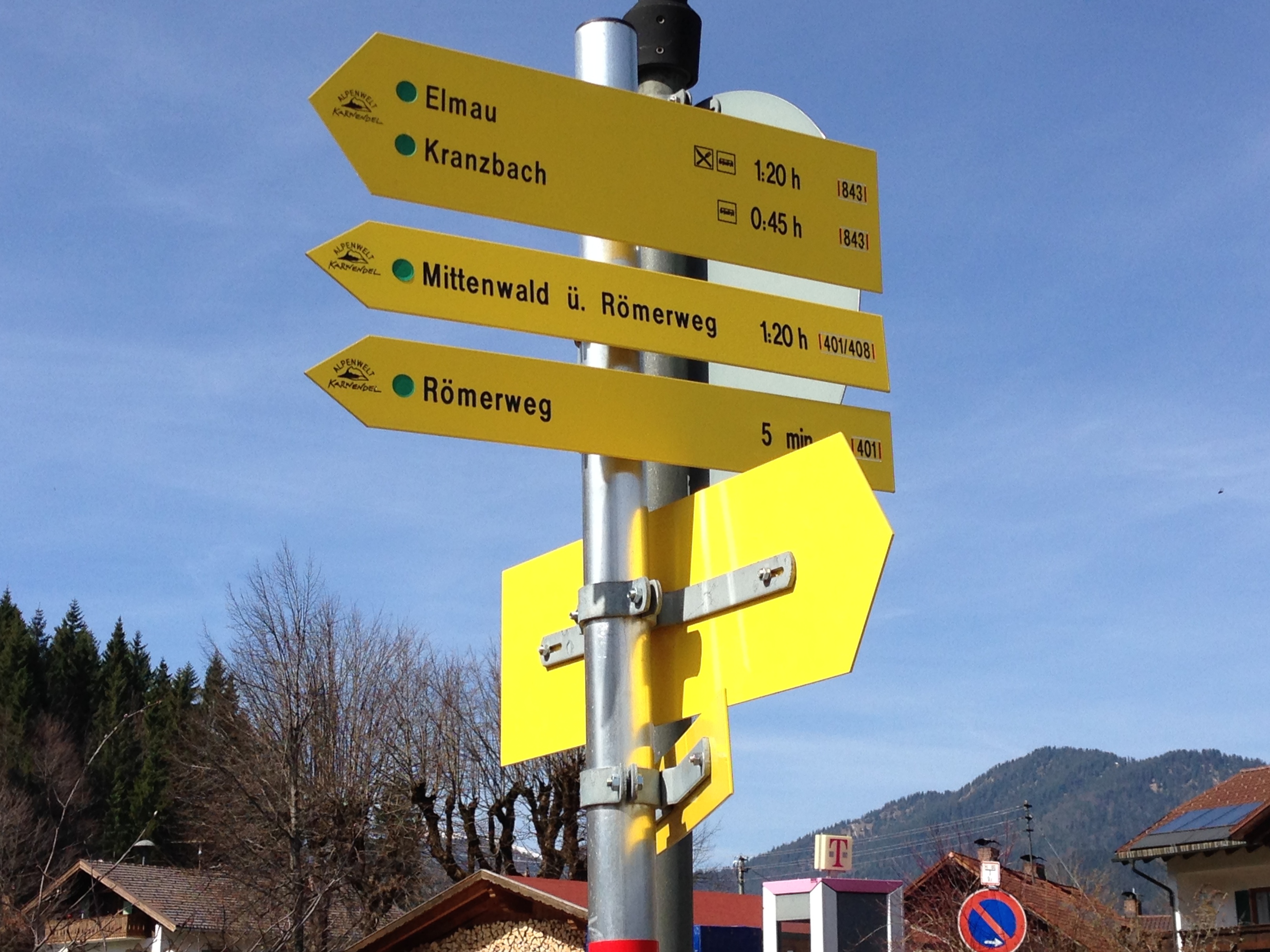
The train from Innsbruck to Munich over Mittenwald stops in Klais, an unassuming alpine village of small hotels (for the tourists who come to ski in the winter and hike in the summer) and locals who probably work in Mittenwald or Garmisch-Partenkirchen. Last week I unboarded there to take a look at some local attractions, one in particular.
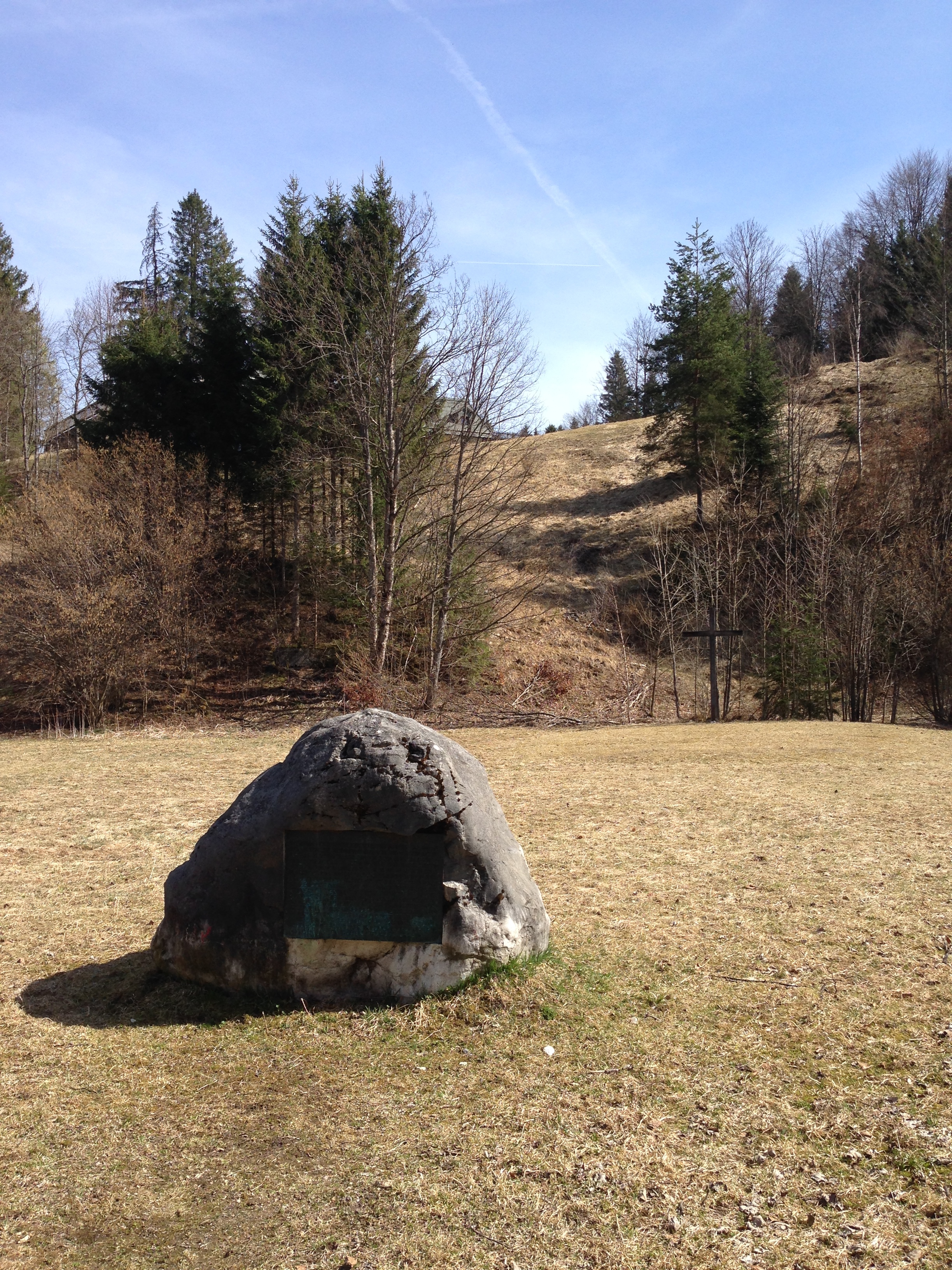
 First, along the small path called Römerweg (more on that in a bit), one comes across the Kirchfeld (church field), in which a boulder rests. This is the site of the old original Scharnitz Abbey (g), founded in 763 and whose monks moved to another area in 772. Excavations in the late 20th century found a church foundation, traces of living quarters, and a small graveyard. Just a minute further along the path, however, one comes to this:

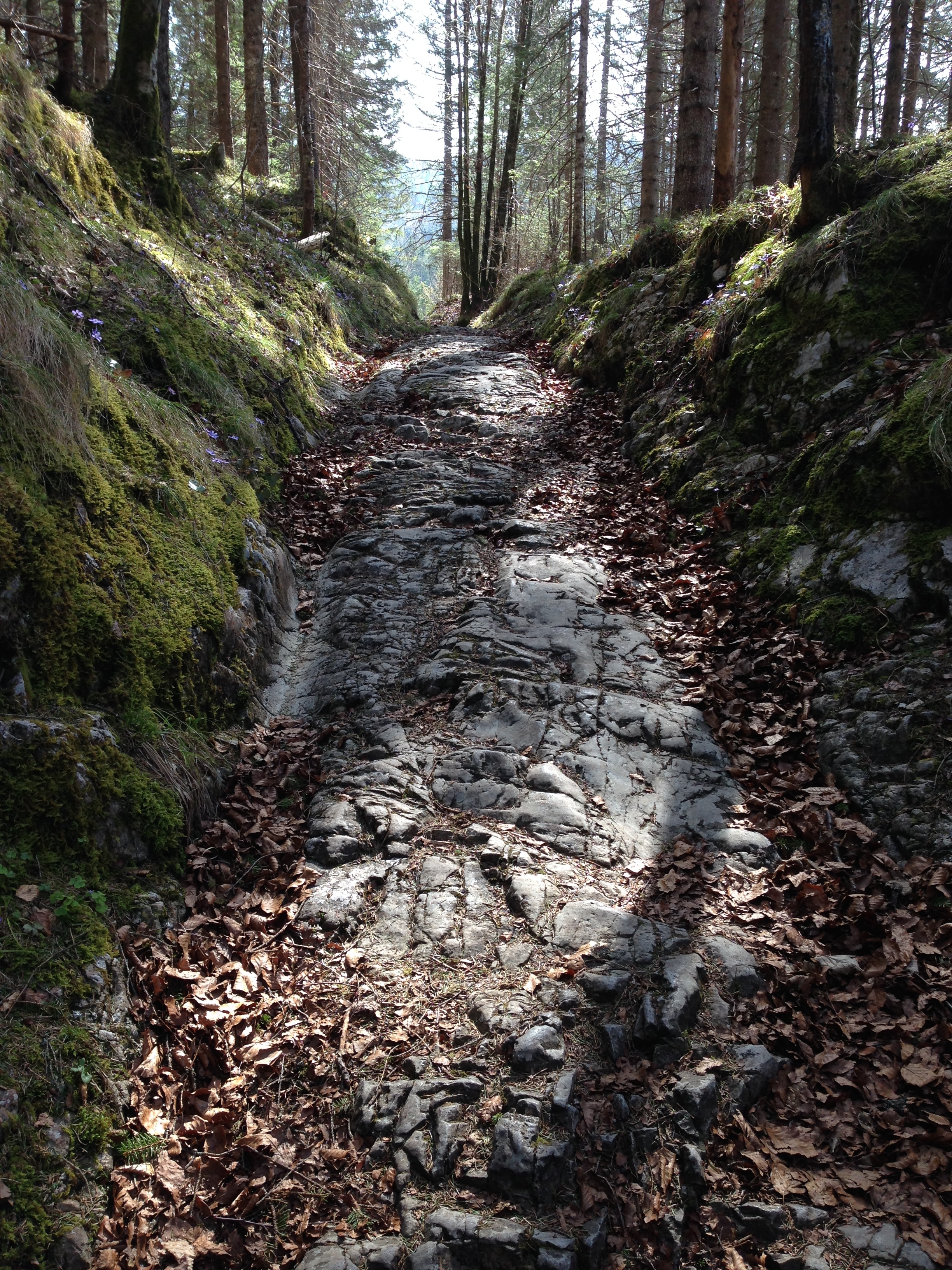
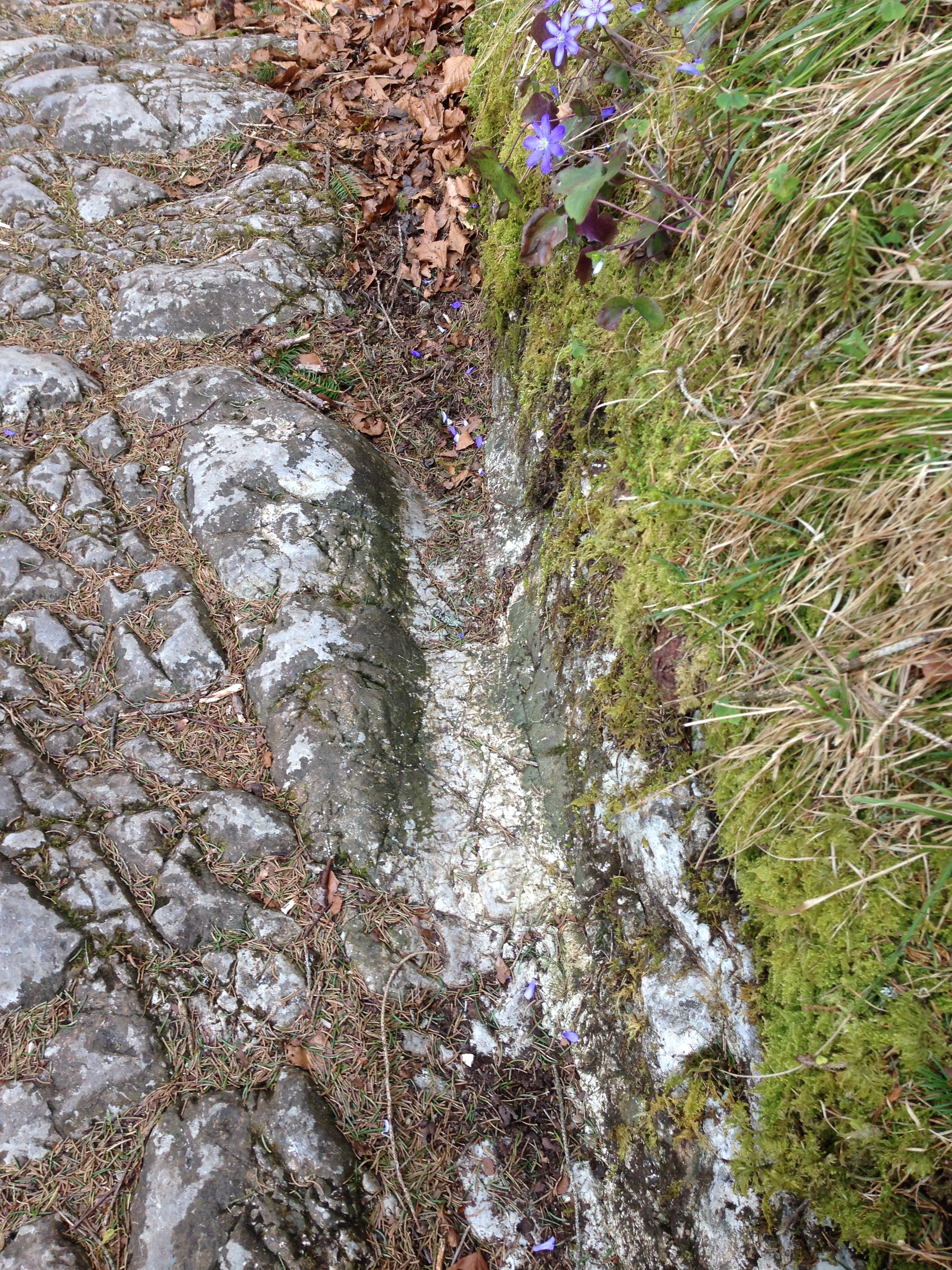
A path cut right out of the rock. This is what remains locally of the old Roman “Via Raetia”, which ran over the Alps via the Brenner Pass, Innsbruck, and then on to the Roman provincial capital Augusta Vindelicorum, now known as Augsburg.

Above, a closer look at one of the grooves which helped determine, by the distance between them, that this road was used by Roman wagons and not wagons from the middle ages, when parts of this route were still very much in use. (In researching this I stumbled upon a old tale which claimed that the US standard railroad gauge descends directly from the distance of the grooves left by “Roman chariots”. This story is false, for several reasons, but one of them being that the Roman army didn’t use chariots, which were so light that they wouldn’t have been leaving grooves anyway. The grooves come from plain old horse-drawn carts laden with goods, for army use or for trade.)
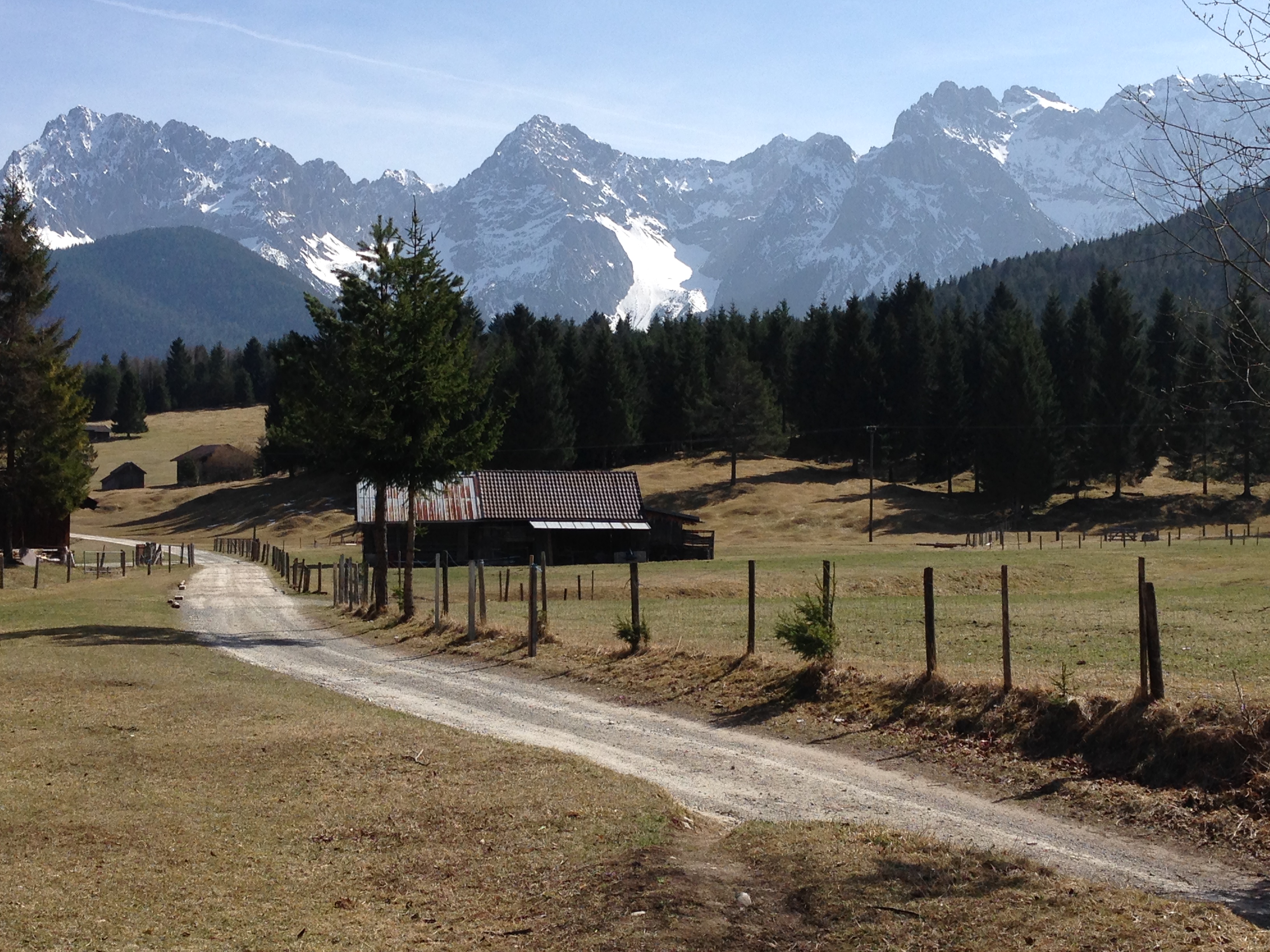
 Römerweg ends here at this unpaved road, which leads to the main road back to Mittenwald. The Via Raetia probably does not lie beneath it, but rather somewhere hidden under pasture. Or maybe it does. One could cycle a bit of the general area of the road, although there is no fixed bike route as there is with parts of the Via Julia. The “Via Raetica Bike Path” is something else altogether, along the Danube near the Roman frontier. This online compendium of the Via Raetia would be useful in planning a route. Perhaps, with some deeper research and field work, I could publish my own someday…
*Ah yes, the title to this post. A sign at the abbey site mentions, in the original documents pertaining to the dedication of the abbey, that the faithful of Mittenwald came to the church gen de Kloas’n [Geleisen], or “along the wheel tracks”. Although it has also been put forward that the village of Klais got it’s name from the Kloster, or even from the possibility of a clausura (military camp), the connection to the Geleisen seems to me the best answer.
AND: why you can’t walk/cycle a Roman road in it’s entirety. Note the lines indicating the tracks. Image from here (g).