>Mountain Blogging: Achensee

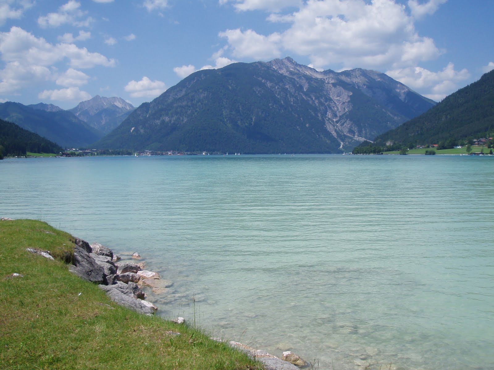
>A day trip to the Achensee, a gorgeous lake in Tirol. It’s long and deep (133 meters) but the southern end is shallow and pale, a milky blue-green from the minerals (I think) in the sediment. The water is very clean, but milky to the point where you can’t see your feet when you stand knee-deep in it.
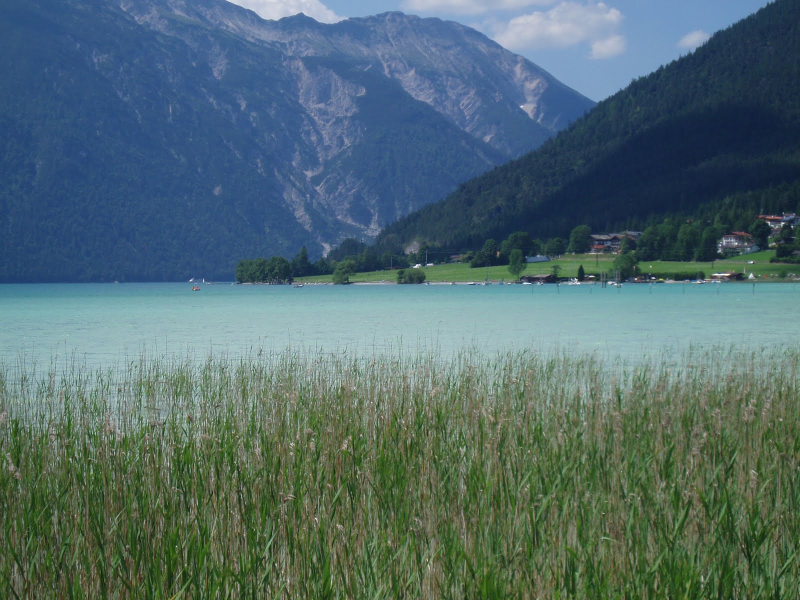
Beyond that point across the water, the lake turns northward, narrows and deepens significantly. There are several diving access points further north, and other villages. There is no road access to the west shore, but there are trails, and ferry service operates from May through October.
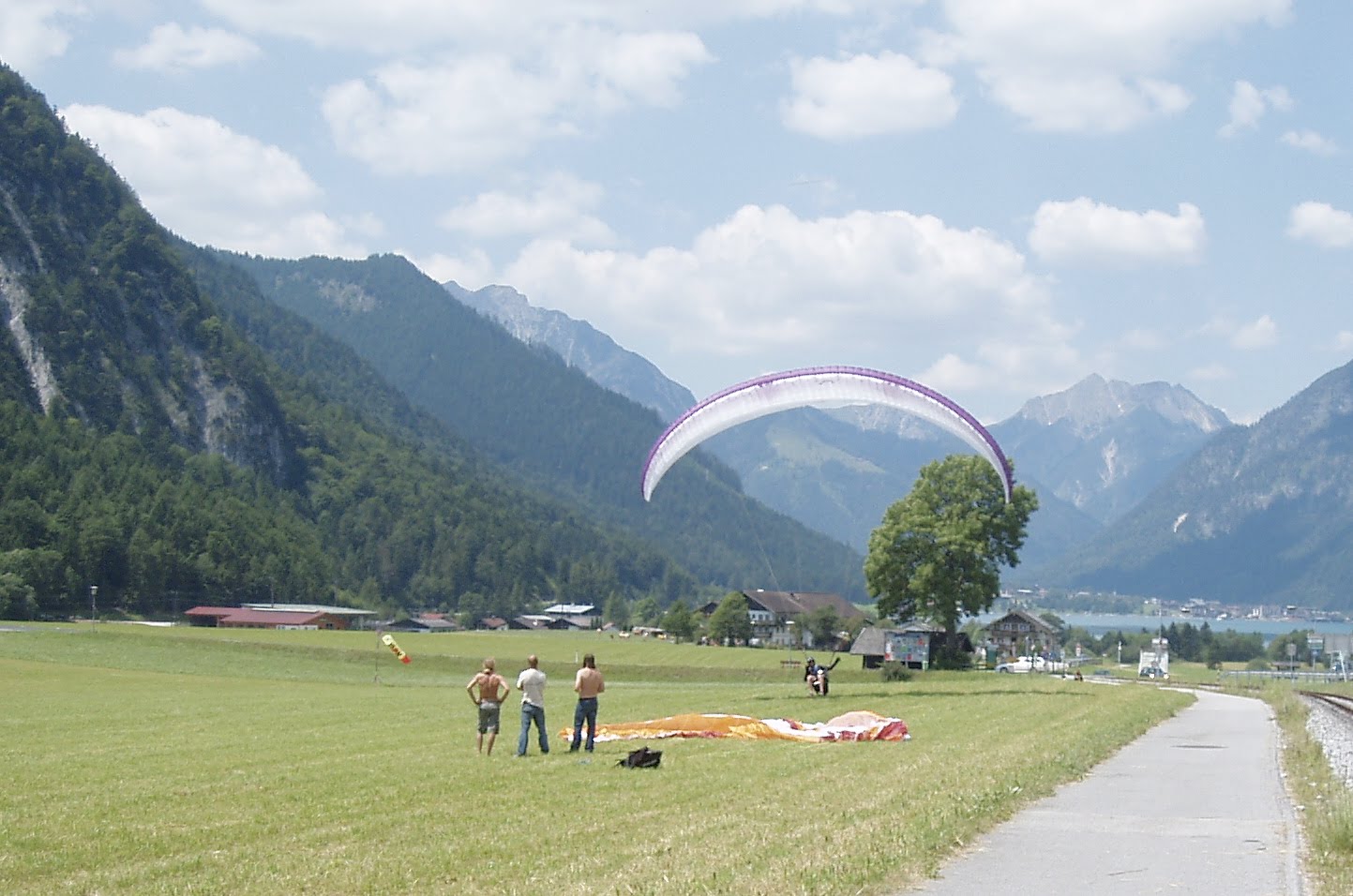
Seems it was perfect weather for paragliding, as there were dozens of them in the air, swooping around over the mountains, catching the currents. One landed practically at my feet as I approached the lake.
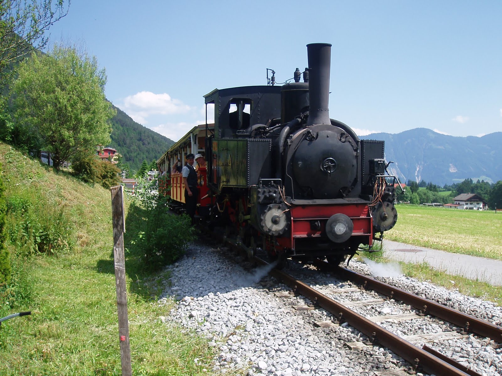
The Achenseebahn, a steep cog rail line which runs from Jenbach to the southernmost boat landing on the lake, was built in 1889 and still uses steam trains, unlike the chic and modern electrified Hungerburgbahn. I’ve ridden it once, it’s kind of fun, but it costs an arm and a leg (€22 one way!) I walked both ways (a good hour each way on the mountain biker’s forest road Via Bavarica Tyrolensis — don’t hog the road, give the bikers room to get past you, it’s their trail.)
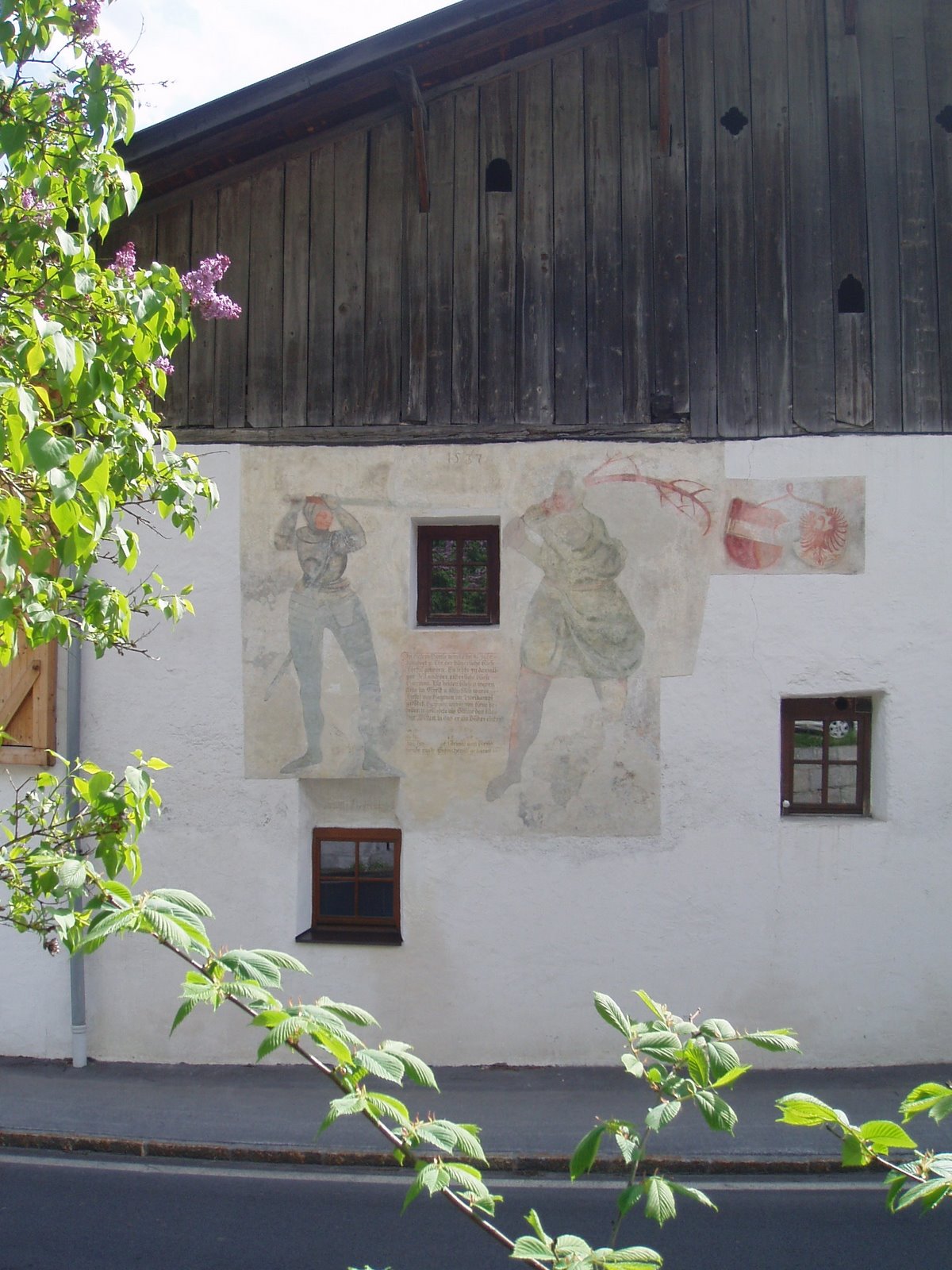
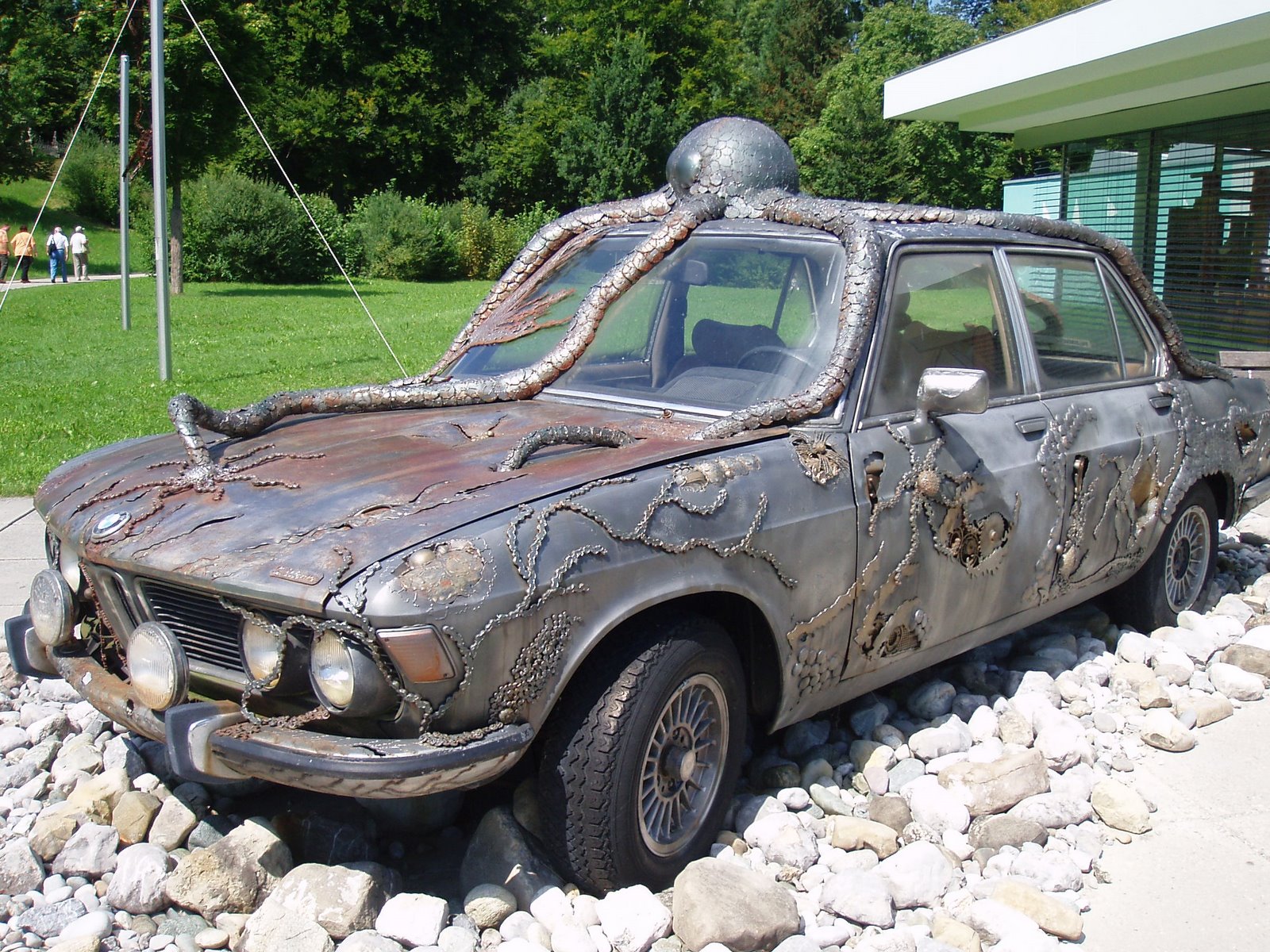
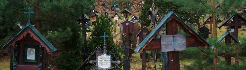
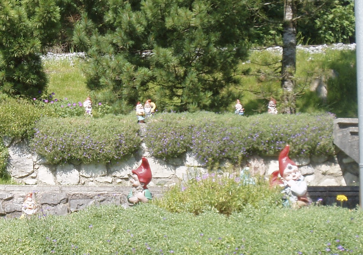
The villages around the Achensee are all about tourism now, and although they’ve kept it relatively tasteful, the area lacks the wild alpine feeling of other mountain lake regions. Here a bit of kitch near the walking path.

>Up In The Border Guard Tower

>On the way back from Freiberg, we took a detour off the Autobahn and went hunting for the old East-West border, which is now just a state line again. We knew there were still guard towers standing, we could see them in the distance from the highway. After a few miles of country roads and a a farm path or two, we found them.
Twenty one years of neglect had taken its toll on the towers, but it was clear that we weren’t the only ones to have come up here. Probably the local kids use it as a secret hangout. We were delighted to find them open and climbed up to the top floor.
Nice view up here. I keep telling the beau that this area reminds me of Pennsylvania.
In the photo above, you can see the next tower, center right on the horizon. (It has a satellite dish erected on the roof.) So the space between this tower and that one would have been part of the border, complete with barbed wire and death strip. Not a trace of it is left except for the towers, which are probably too much trouble to dismantle.

>Anyone Up For a Walk Through Northumberland?

>The internet is, for all its faults, an amazing thing.

When I was around 12 years old I read a few books involving English Gypsies, and became fascinated by them and by England at the same time. One book in particular stayed with me, because of a long, descriptive passage of a walk from the Scottish border to Hadrian’s Wall. But that was pretty much all I could remember about this book. Title, author, character names were all lost to me.
Then recently I discovered that certain bookseller websites have forums where you can ask just this sort of thing. I wrote a post with the above information, and the dim memory of one brief bit about a gold coin offered and rejected. Within 24 hours I had a response and within the week I had the name of my book. There was no pressure to buy it anywhere, either, and I ended up ordering it somewhere else, but I am eternally grateful to the volunteer Book Sleuths who helped me out!
The book? It was Winifred Cawley’s “Feast Of The Serpent”, and after re-reading it I saw immediately why I was so fascinated. The protagonist, Adonell, is a teenager, half Gypsy, and when her father is killed her mother takes her (on foot, it’s 1649) from their Northumbrian village to reunite with her Romany family further south. On the way the reader is introduced to reading Gypsy signs, Neolithic cup-and-ring stones, the ruins of the Castle of Seven Shields (or Sewingshields), Hadrian’s Wall (Cawley calls it “the Picts’ Wall”), and the marginalized communities living within its fortification ruins. A bit of internet research convinced me that she was writing about what is now called Housesteads, near Barcombe Hill (from the Roman Vercovicium? which is called only Barcom in the book), and Vindolanda. The lake with the “steep crag beyond it” is surely Crag Lough, one of three lakes in the region which form a sort of triangle of land in between, which, Cawley writes, is sacred land to the Rom.
Of course, now all I want to do is fly to Newcastle and go on my own “Feast Of The Serpent” walkabout! I want to see these things! And again, the internet, with all its images, blogs and helpful websites, is an amazing thing.

Northumberland National Park
Housesteads Museum and Fort
Hadrian’s Wall Blog

>Reith bei Seefeld

>The Mittenwaldbahn (a railway to Munich which goes through some splendid mountain scenery, and I do mean through — it’s all bridges and tunnels til Bavaria) stops in the village of Reith bei Seefeld, which claims a cultural walking tour of sorts through it and its neighboring village, Leithen. Some of it was the usual, chapels and Madonnas, but a few items were interesting.
Reith saw its share of suffering from the World Wars — from the two wars it lost 28 men, which doesn’t sound like much until you remember how small this village is. Then in 1945 the Allies bombed it six times, dropping 300 bombs in attempts to destroy the rail line. This is an Allied bombshell from the time. (Note: Tirol was occupied by British forces after the war.)

In Leithen one finds the alleged birthplace of Thyrsus, a 9th-century giant known for being killed by the more-famous Haymon the Giant, who regretted the act enough to build the collegiate church in Wilten. Historical researchers presume that Haymon was a Bavarian aristocrat with neighbor issues; so far I found no light on who Thyrsus really was. He’s the one on the right in this fresco. The saga relates that when Thyrus was slayed, his blood spilled into the ground and became oil shale, as indeed there are shale deposits in the region around Seefeld and Scharnitz.
The Thirty Years’ War brought the Plague to Tirol. A wealthy Innsbruck merchant fled with his family to Leithen and fell ill there, but pledged to built this pillar, painted with scenes from the crucifixion, which he did in 1637. Often one finds not just a pillar but an entire church built out of gratitude for someone’s survival. Evidently many people made a lot of deals with God in the hopes of surviving the Plague, as Pestkirchen are abundant — in fact, there’s one at the end of my street.
This rock sticking out of the ground would probably have escaped notice completely if not for the list of monuments found on the walking tour, which I picked up at the tourist information desk. It was once a milestone, with the figure of St. Nicholas (Reith’s patron saint) attached to the base. In 1703 Bavarian soldiers (in the War of Spanish Succession) sacked the village and ripped out the saint. Ever since, the base has stood there as a memorial (to what, I’m not sure. Possibly as a reminder to hate the Germans and the French.)

So, the general consensus seems to be that there was a lot of fighting going on, just like anywhere. Centuries of peaceful co-existence, then something happens, blood is shed. And humans memorialize it afterward, as best they can.

>Reschensee (Lago di Resia): II

>
I was looking — unsuccessfully — for an image of the actual village on the internet for the post below. Today I found (buried among other papers, of course) a postcard that we picked up when we had visited the area, which shows photographs of Graun before the dam was built. The 14th-century bell tower is easily recognizable in the top right and bottom left photos (also in the top left photo but I was unable to get a clear image from photographing a postcard.)

Things like this — ghost towns, abandoned railroads, sunken villages — fascinate us, don’t they? I find myself particularly fascinated by what one finds under the water’s surface. The rivers and lakes of Europe have claimed millennia of artifacts, from pre-historic jewelry to medieval swords, and on through to Third Reich memorabilia. This online article (update: sorry, link now dead)  about diving for artifacts in the Salzkammergut region gives one a good idea of what’s down there.

Update: Divers have left reports online that one may dive (with permission from the municipality) but that there is nothing to see below the surface — the tower stands in about 2 meters of mud, and so the old streets, etc., are completely covered.

>Reschensee (Lago di Resia)

>The Reschensee is an artificial lake on the Italian side of Tirol, or South Tirol. When the dam was finished in 1950, the waters rose over several evacuated villages, including Graun (in Italian, Curon), where 163 houses were destroyed. The 14th-century bell tower was left standing , having been designated an historical monument, and if you drive along the coast, that is all that you will see of the village that was once there.
I first learned of this bell tower from a photograph in a cycling guidebook, and so, several years later, when the beau and I were looking for some day-trip destinations, I said that I had always wanted to see it myself.

Update: Divers have left reports online that one may dive (with permission from the municipality) but that there is nothing to see below the surface — the tower stands in about 2 meters of mud, and so the old streets, etc., are completely covered.

>Bernried

>Last week we took a little excursion through the Bavarian lake region. First stop was lunch, in the Biergarten of a very nice cloister, where the specialty is Schweinhaxe (pork knuckle) and Knödel. We had a great view of the countryside.

Next stop was Bernried, a village on Lake Starnberg and home to the museum housing the art collection of Lothar-Günter Buchheim, whom Americans may recognize as the author of “Das Boot.” Apparently he was a colorful figure, and quite the collector of German expressionist paintings, primitive folk art, and carousel horses, among other things.


This artwork was parked in front of the museum. The seaweed draped over it is made from bicycle chains. The creature on the roof has already got his tentacles into some of the windows.The artist is local.