We often drive through a Bavarian village with a bypass running east-west just of north of it, created so that cars (and trucks) on the main road from the lake to the next town don’t have to navigate all those crooked village roads. On the west side, a short stretch of the older road was left intact (ending in grass), so that you can see how the current main road used to connect to it (and now continues to the left). The east side always puzzled me, though, and for years I wondered if the road we use to reach the bypass was the road that had always been used, or if that had been somewhere else.
I recently found the answer (it’s the former), and I’m only telling you about it because the search led me to the discovery of this website of the Bavarian Ministry of Finance and Home Affairs.
The BayernAtlas website has a nifty function called “Zeitreise” where you can travel through time (virtually) by zooming in to the area you want to view and then clicking on the time bar to bring up digitalized versions of maps that would be current for that time frame. This way you can see when buildings were erected, when new roads were put in or when existing roads were realigned (to bypass villages, for example). You can even play with the transparency to see how two maps line up.
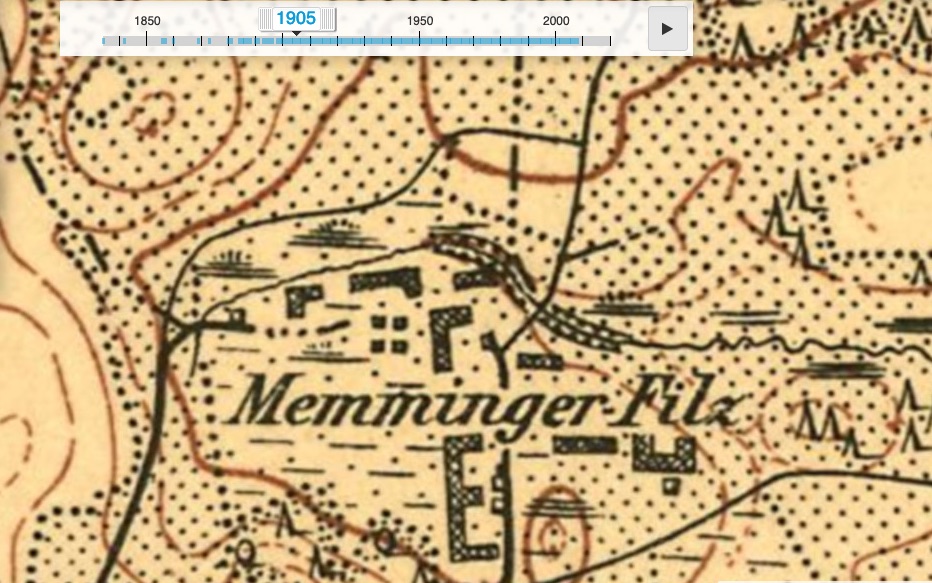
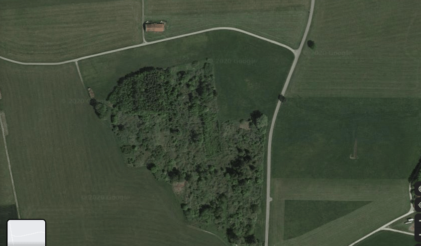
Here’s an example of what I mean. Today, the site of a small patch of managed forest…
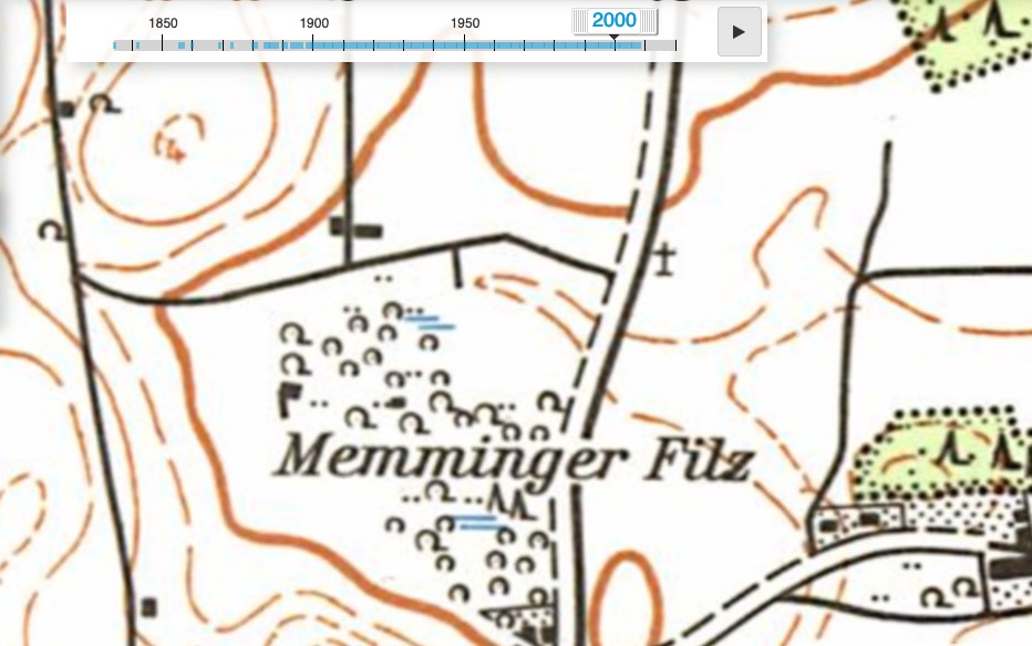
…evidently once held a complex of building structures – most likely barns or stables.
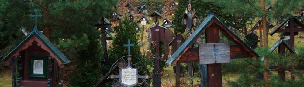
What I haven’t yet been able to do is learn what the symbols – for example the circles and tepees, not to mention those things that vaguely resemble steam ships – represent.

The “steamship”: means wet area, swamp,
The “tipis”: conifers, or singular trees
This is a link to historic orthophotos (not georeferenced) in Tyrol: https://lba.tirol.gv.at/public/karte.xhtml
In Tiris is an addition Service with georeferenced orthophotos between 1940 and today (but not all covering Tyrol totally) ttps://maps.tirol.gv.at/synserver;jsessionid=9CB0A5070BC690391BB894621ECABEB8?user=guest&project=tmap_master
Not to forget historic maps of Tyrol https://hik.tirol.gv.at/ (some of them georeferenced). The most important person in this project is Josef Schönegger, who has scanned most of the maps for this homepage pro bono and also has written an interesting book on Innsbruck:
https://blog.innsbruck.info/de/menschen-geschichten/als-kartografen-noch-kunstler-waren/
LikeLiked by 1 person